Virtual tour and multimedia
Virtual tours and online 3D models
We turn a survey into something that opens with a link: a virtual tour made of spherical photos, or the 3D model of an area captured by drone. Whoever receives it views it in the browser, on a phone too, with no software to install.

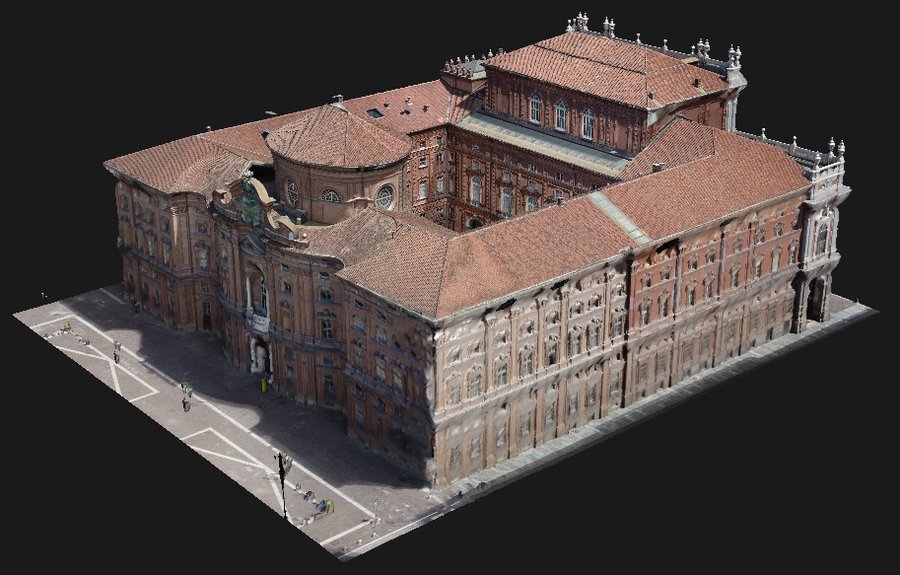
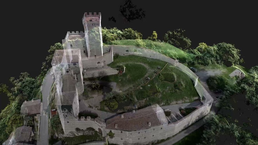
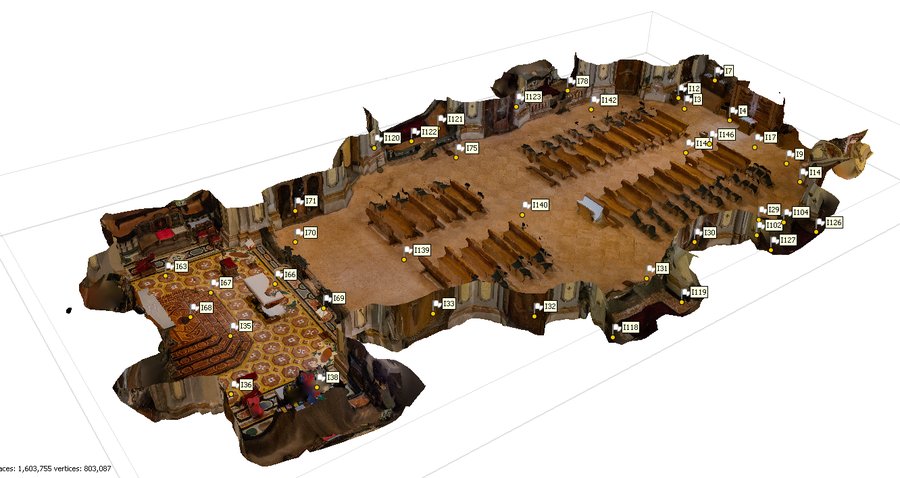
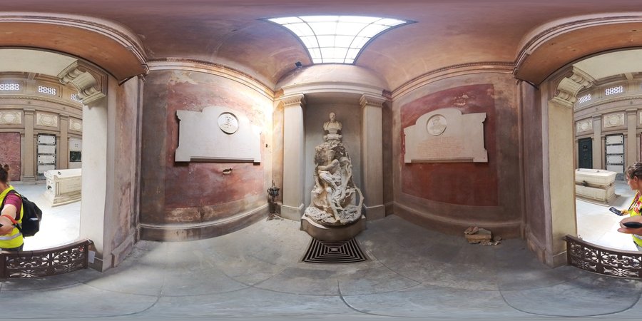
From our tours: under a bridge, a square captured from laser stations, an 11-hectare area in the 3D model.
What we make
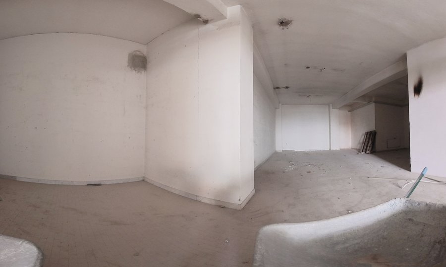
- Virtual tours from spherical photos: the stops are the points we photographed from, on the ground or from the drone, with a plan to find your way.
- Virtual tours from laser stations: each stop is a laser scanner station, so the tour sits on the same geometry as the survey.
- In all of them you move from one room to the next with a click, and the plan always shows where you are.
- Online 3D models: the area captured by drone, with spherical and oblique photos placed where they were taken.
How it is delivered
We send a link and a password. The page opens in the browser of a computer or a phone, with nothing to download or install: it is designed for people who need to see a building or a worksite without being technicians.
The address is a code, not the name of the place, and without the password the page does not open.
When you need to measure
The online tour is for consultation. For measuring we deliver the Errealcubo Viewer, which runs on a computer without installation.
What it is for
- Showing a building or an area to owners and designers who are not on site.
- Reviewing at the desk what is hard to see on site, such as the soffit of a bridge or a full water tank.
- Finding where every photo of a survey or a worksite was taken.
From our surveys
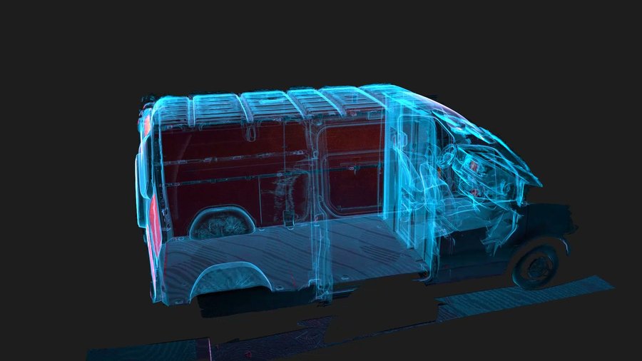
3D models and point clouds we deliver for online consultation or with the Errealcubo Viewer.
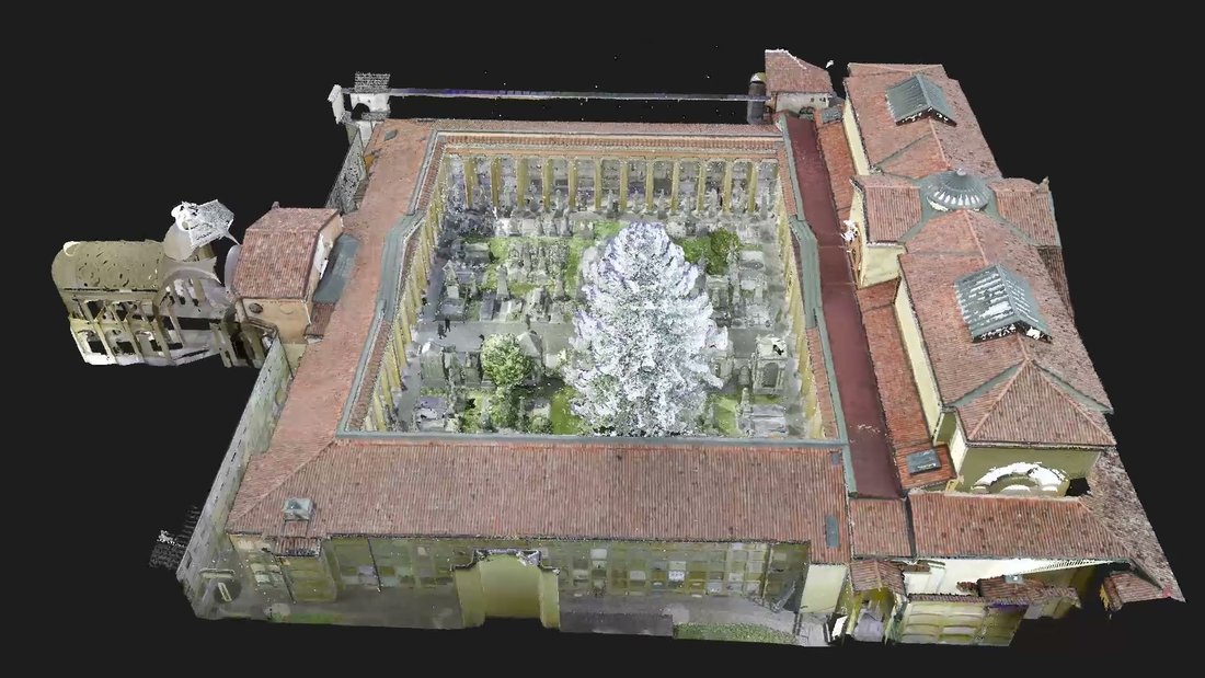
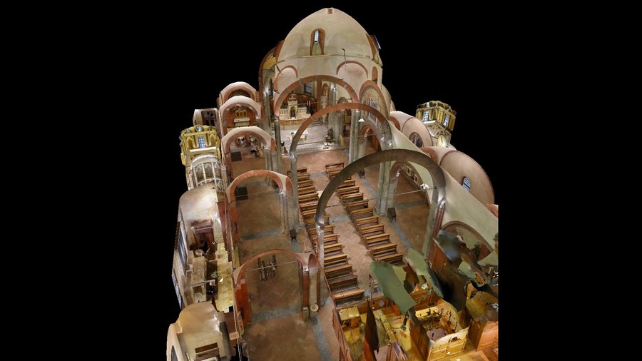
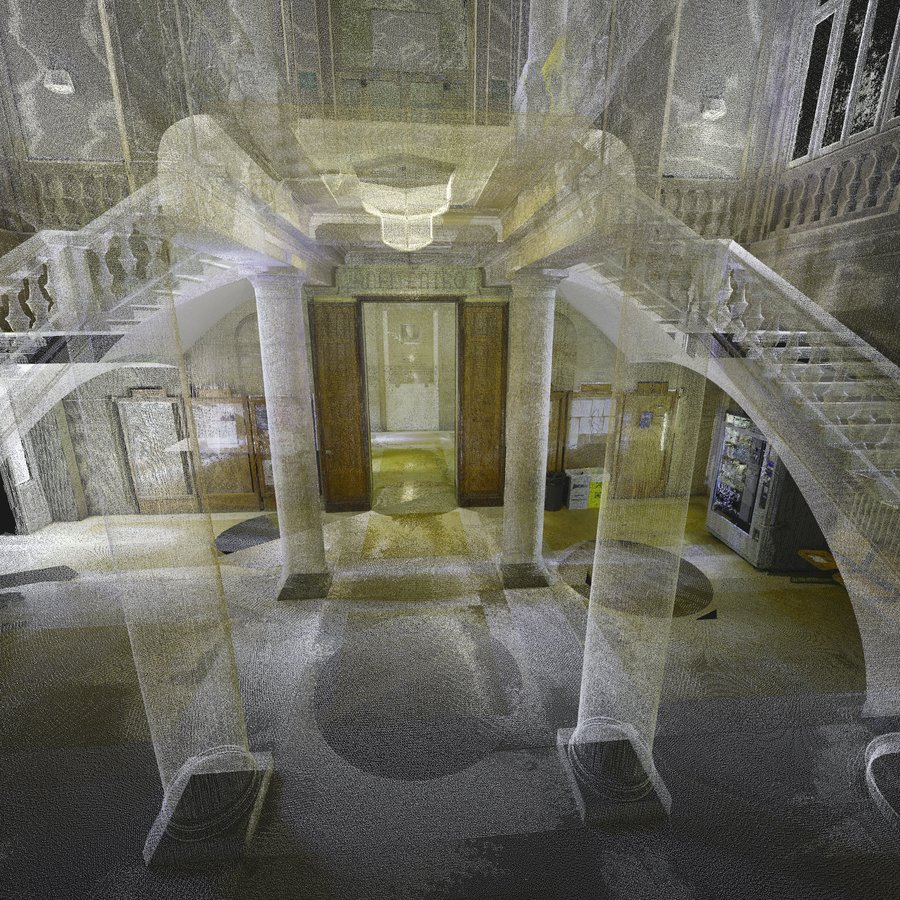
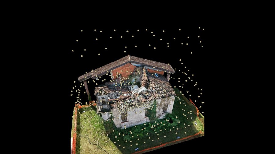
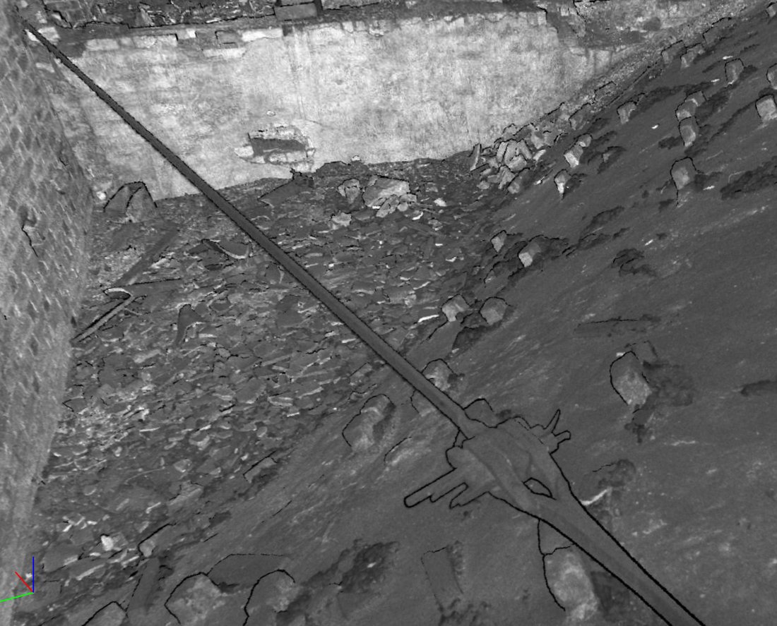
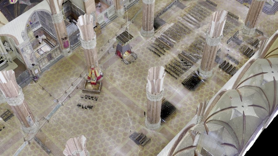
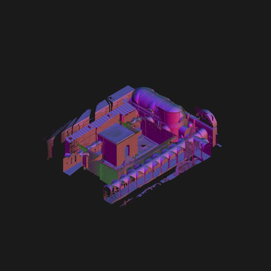
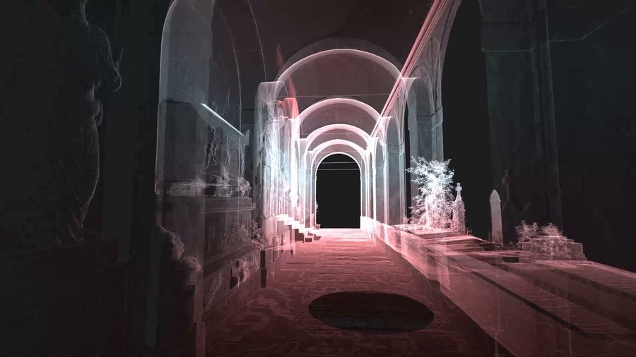
Some projects
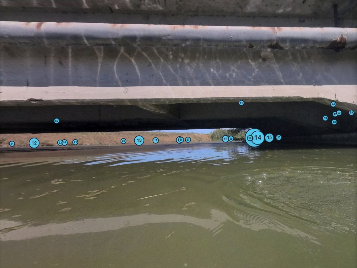 Road bridge over a canal, province of Ferrara53 stops: 41 spherical photos from the boat under the bridge, 7 from the drone and 5 from the bank, delivered with the survey.
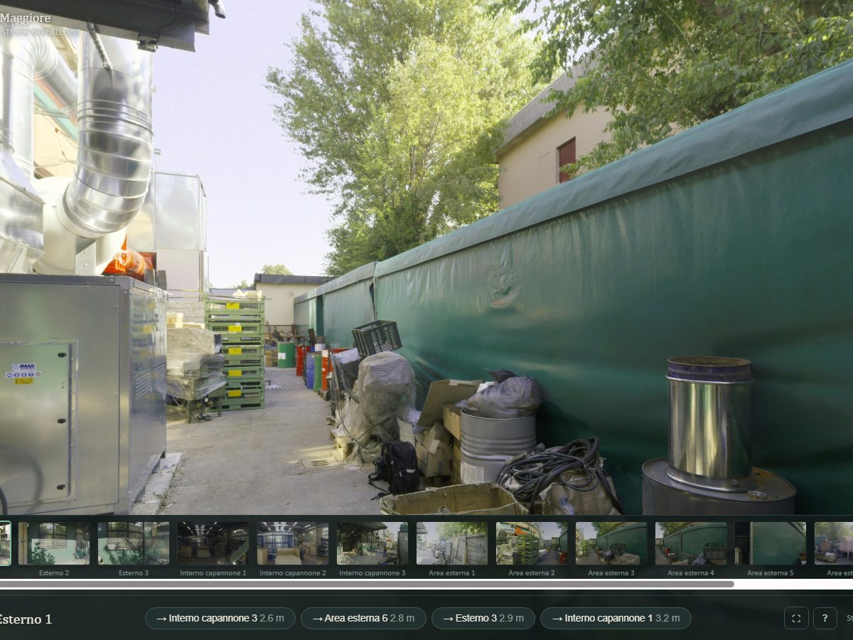 An industrial site15 stops from laser stations, delivered online with a link and a password to an owner who did not have to install anything.
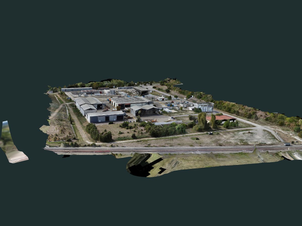 Landfill area, ModenaThe 3D model of 11 hectares from over 2,500 drone photos, with aerial spherical photos placed on the model.
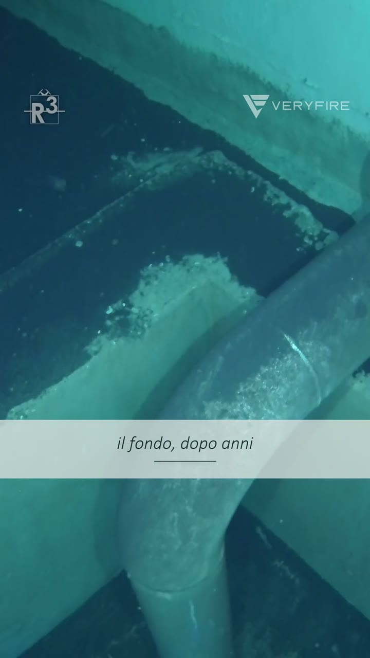 Fire water tanksThe virtual tour of the part above water, together with the ROV footage.
Frequently asked questions
Can you measure in the virtual tour?
Not the online tour, which is for consultation. For measuring there is the Errealcubo Viewer, which works on the laser stations and returns point coordinates.
Do I need to install anything?
No. The tour and the 3D model open in the browser, on a phone too.
Can it be done without a laser scanner?
Yes, with spherical photos taken on the ground or from a drone. The tour is then for viewing and orientation, not for measuring.
Can it be viewed with a virtual reality headset?
The 3D models we produce lend themselves to immersive viewing. If you need it, say so in your request and we will prepare the delivery for the headset.
Who can open it?
Only people with the link and the password. The address is a code and does not say what place it is.
What does the price depend on?
On the number of stops, whether there is a laser survey or a drone flight, and the delivery: online, or with the viewer for measuring.
What do you need for a quote?
The place, who the tour is for and what they need to do with it.
Want to show a building or an area with a link?
Tell us the place, who the tour is for and what they need to do with it: we will reply with an offer.
Our other services: Heritage survey · Building survey · Infrastructure survey · Land survey · Drone inspections · ROV inspections