Infrastructure, production and industrial spaces
Infrastructure and industrial surveys
Laser scanning, topographic and drone surveys of bridges, industrial buildings, warehouses and plants, including places that can only be reached from the water. Drawings and point cloud are the basis for structural assessments, strengthening, extensions, new plants and as-built records of existing fire protection systems.

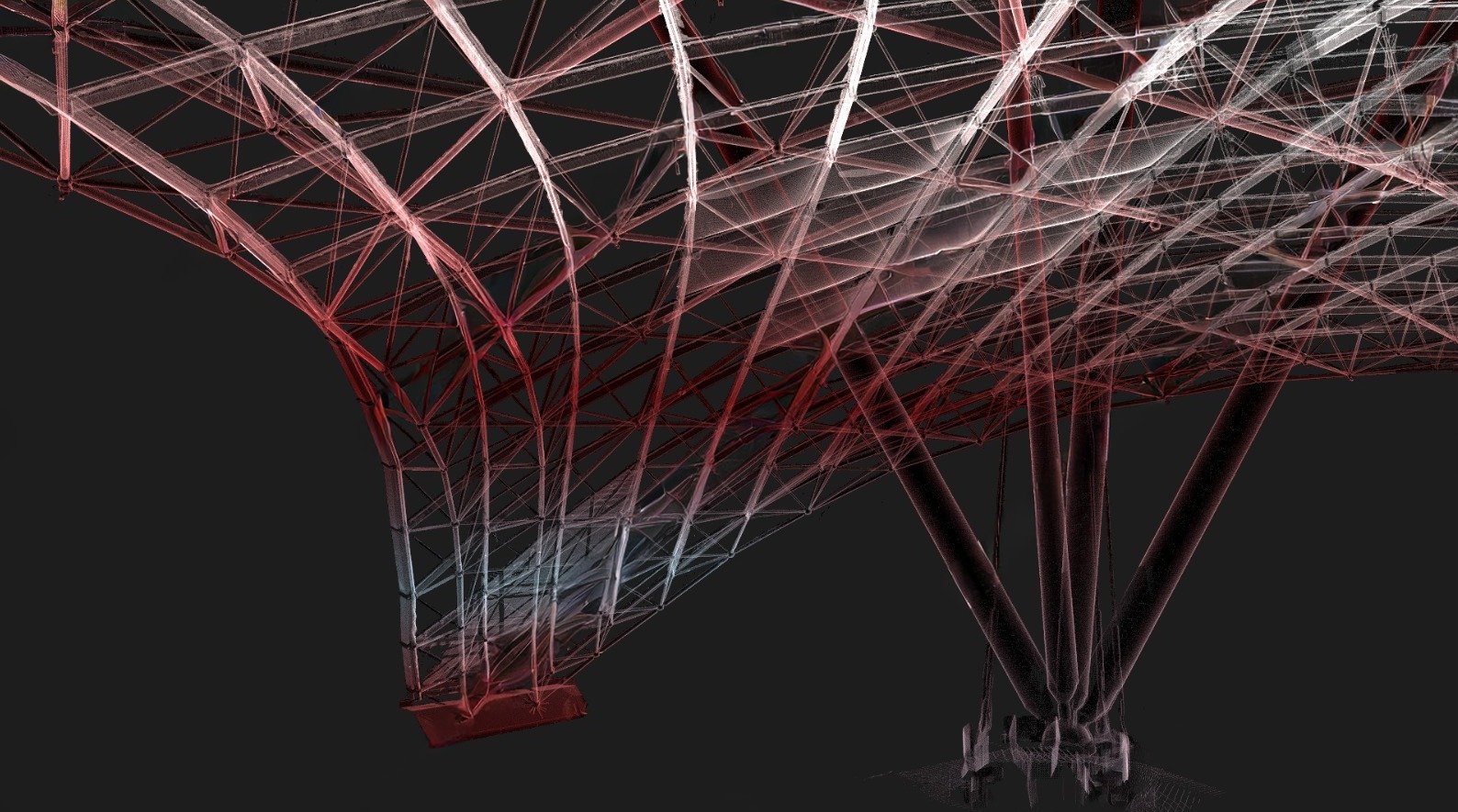
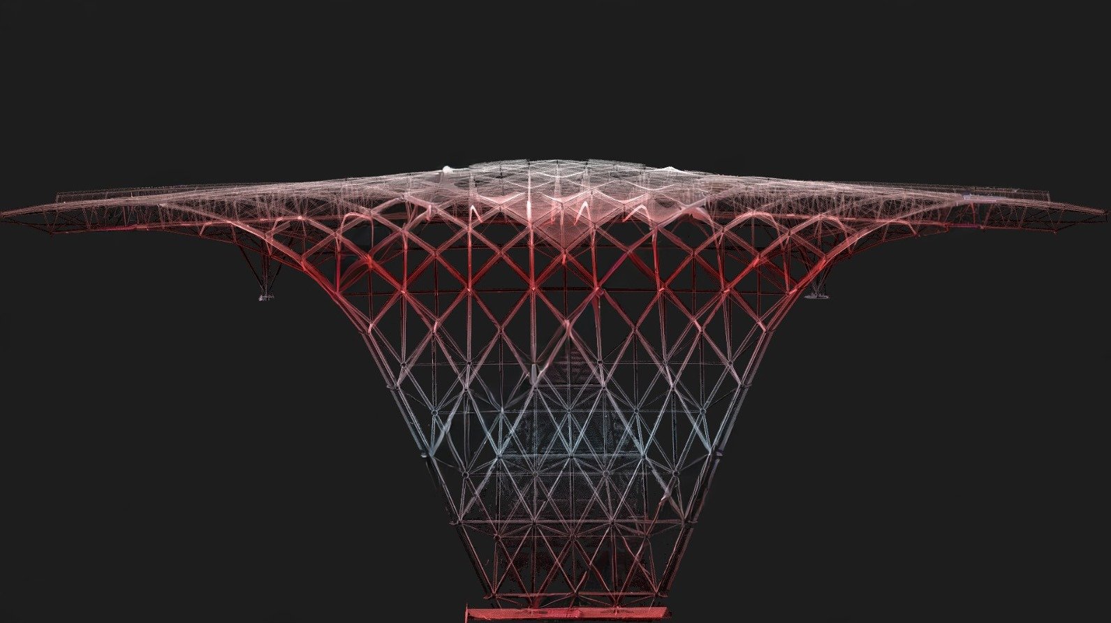
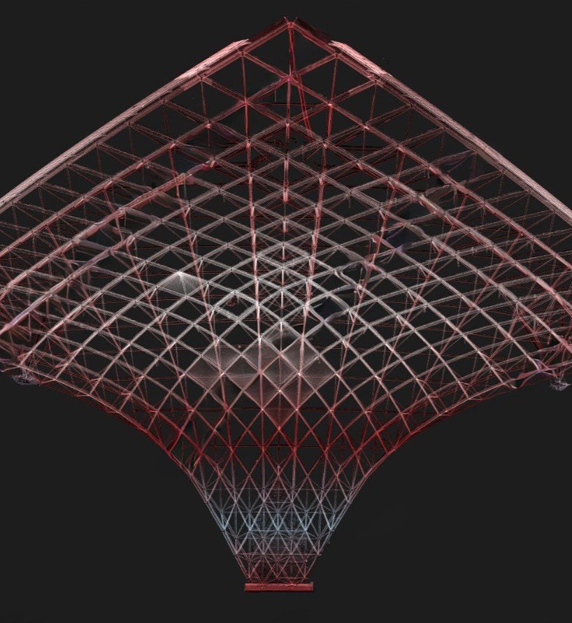
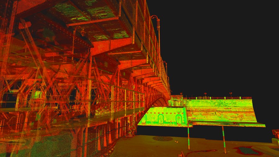
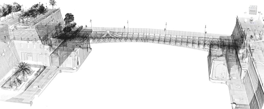
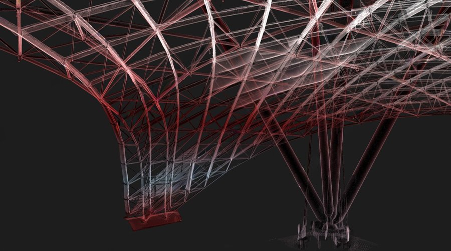
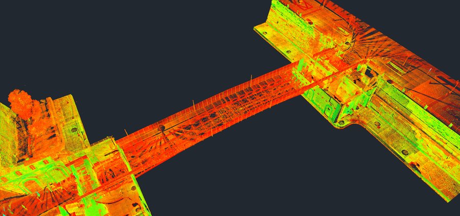
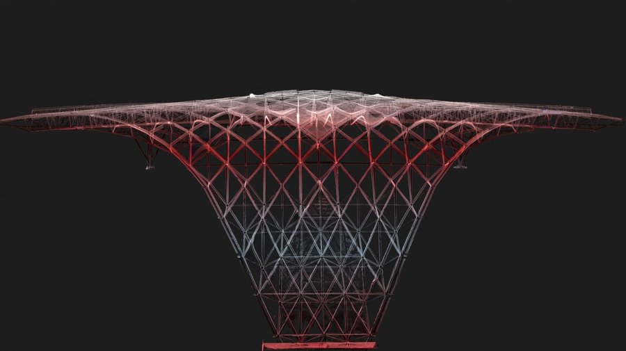
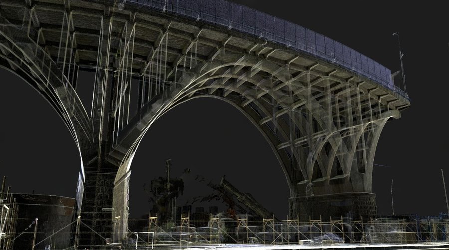
Two examples: the space grid roof of the Vela Unipol in Bologna and the swing bridge in Taranto, in the point clouds of our surveys.
What we survey
- Bridges: deck, piers, abutments and soffit, for structural assessment and strengthening design.
- Industrial buildings, warehouses and silos: structures, roofs and levels, for extensions or for systems to be installed on the roofs.
- Sprinkler systems: position and level of the heads and deflector-to-ceiling distance, to be checked against UNI EN 12845, delivered in DXF as as-built records. For instance, we produced the as-built record of the system of a shopping centre of about 26,000 m².
- Railways: for a worksite on the Bologna-Florence high-speed line we extended the line's reference system from inside the tunnel, starting from benchmarks of known coordinates, to the worksite.
- Structures to be monitored over time, with repeated levelling campaigns.
The Vela Unipol, Bologna
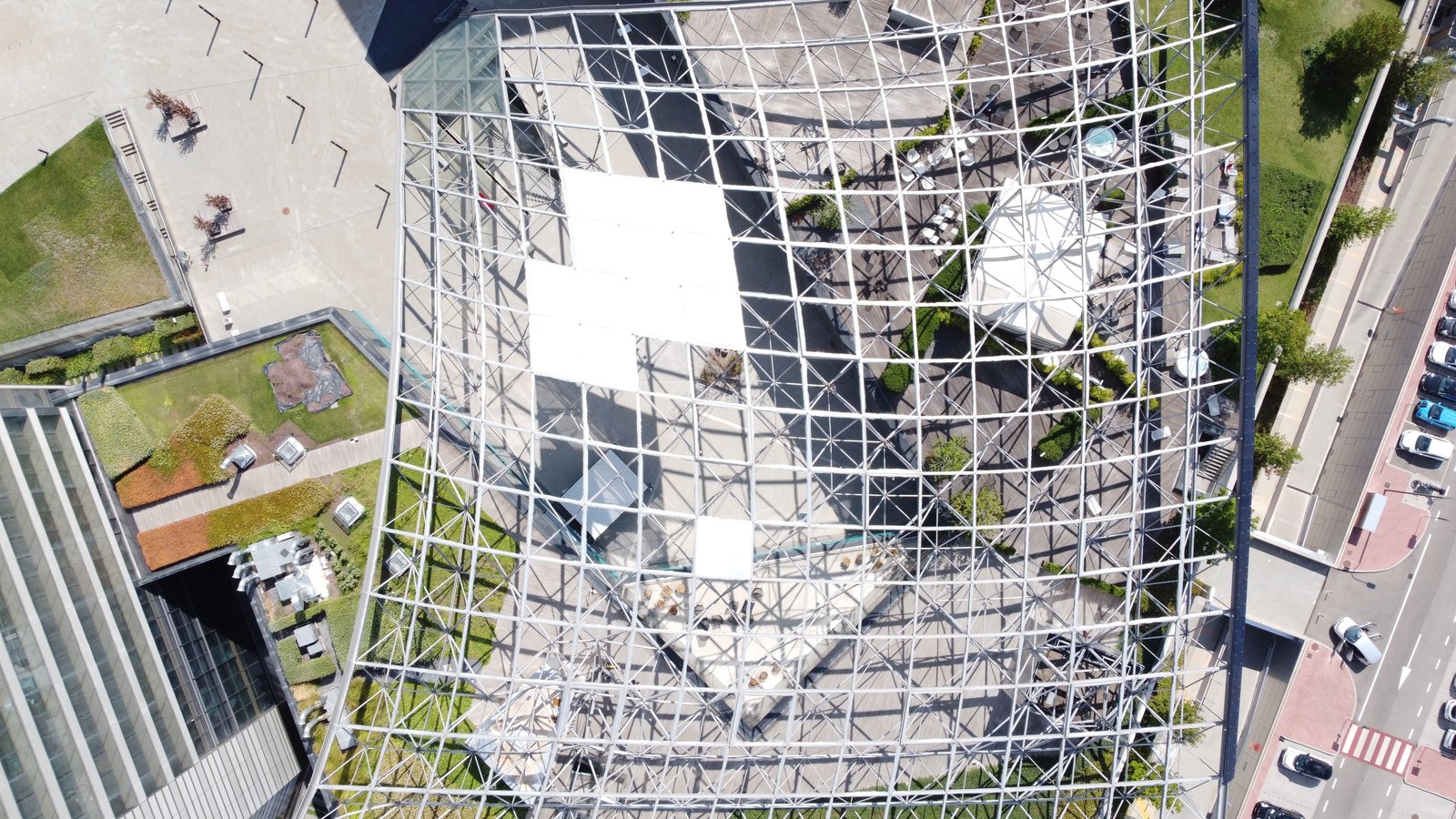
The Vela is the steel space grid roof of the Torre Unipol complex in via Larga, Bologna: about 3,600 m² of doubly curved structure, suspended more than 30 m above ground with a free span of about 50 m and meshes of about 4 × 4 m. In 2019 a hailstorm destroyed the ETFE cushions of the roof. The design of the new mesh covers needed the real geometry of the structure, node by node.
The survey is integrated. A network of three permanent ground markers, measured with a total station and adjusted by least squares, fixes the reference system. The drone flew about 6 m above the extrados, in eight flights over nine quadrants with about ten targets per flight: 1,184 images with a GSD of about 2 mm and mean orientation residuals below 1 cm. Twenty-nine laser scans, ten of them at high resolution, describe the intrados. Five days on site were enough, with the wind accelerating between the two towers by the Venturi effect.
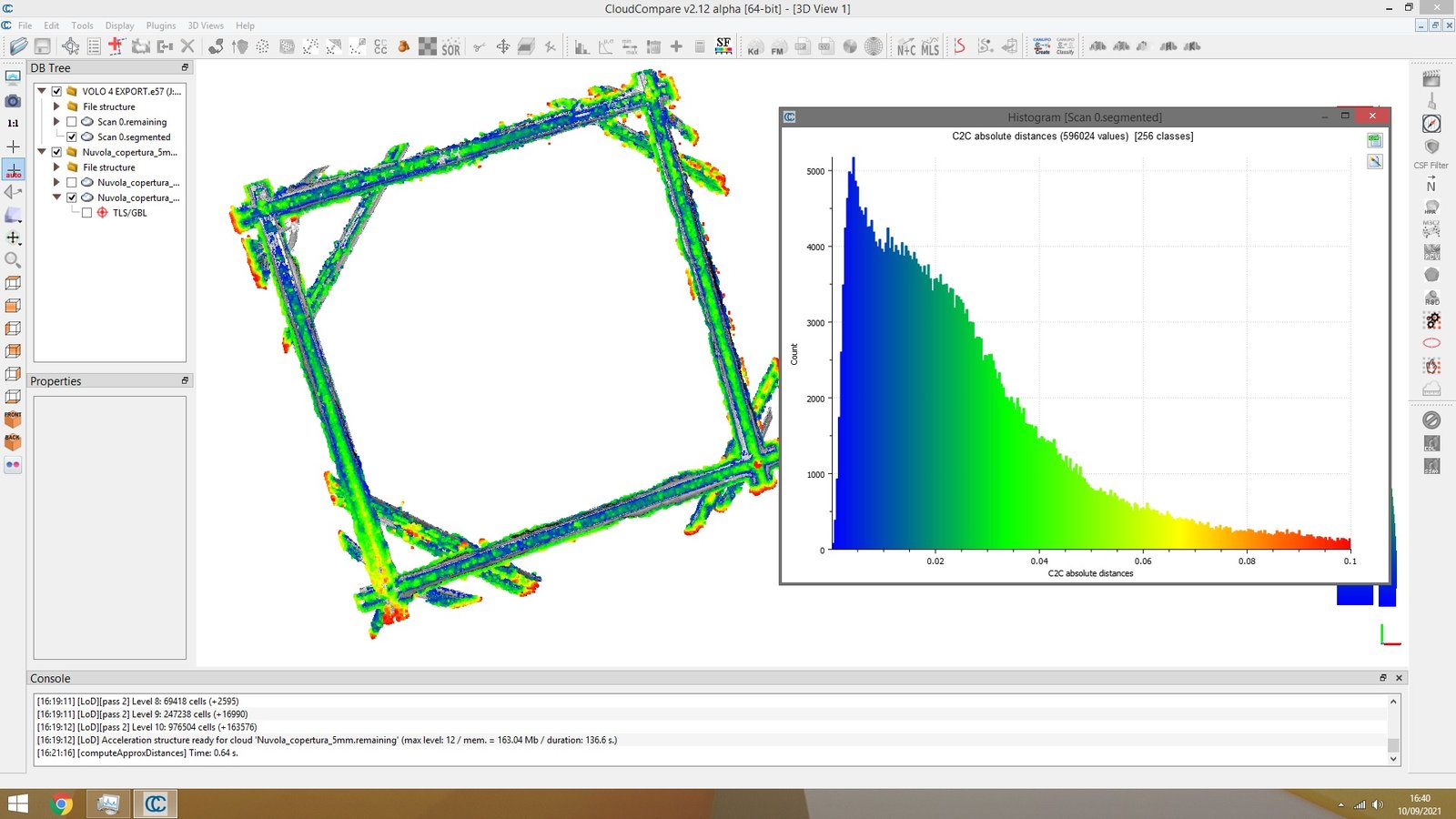
Photogrammetry produced the coordinates of every node of the extrados, collected in a node catalogue and a catalogue of the 255 meshes with the sides and diagonals of each. On the laser point cloud we measured the diameter of 20 intrados nodes (mean 208 mm, standard deviation 3 mm). Comparing photogrammetry and laser on six sample meshes gave a mean difference of 1 mm in the distances between nodes.
The survey also became a research case: the method is described in a paper presented in the ISPRS community with Sapienza University of Rome, and our data are the basis of a study on the automatic recognition of the components published in Remote Sensing in 2023 (doi 10.3390/rs15081961).
Under bridges
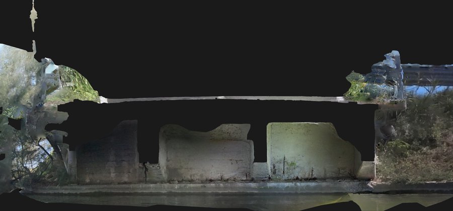
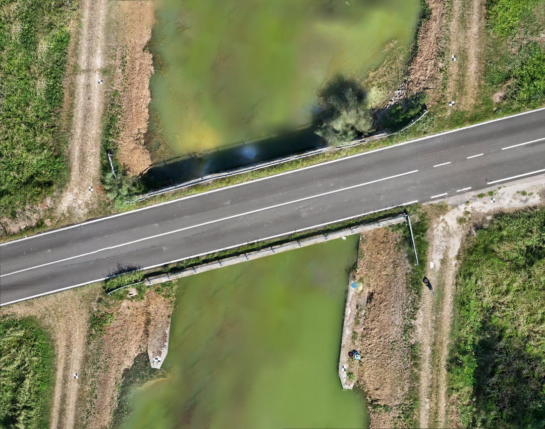
The soffit of a bridge over a canal cannot be seen from the ground, nor from a drone. For instance, on a road bridge in the province of Ferrara we photographed it from a radio-controlled boat, with the camera pointing up and an LED lamp: over 120 photos and 46 spherical images. Under the cantilevers, where the boat could not pass, we went in with a telescopic pole.
From the photos we build the model of the soffit, with beams and cross-beams, tied to the laser point cloud of the rest of the bridge.
Reference system and accuracy
We tie the survey to the national grid with NRTK GNSS, or with a total station network where the signal does not reach. On the same bridge, 19 laser stations and over 300 drone photos are referenced to nine targets measured with GNSS and to an existing benchmark on the abutment.
For monitoring we use precise levelling, with an Invar staff and least-squares adjustment. Since 2017 we have followed eleven buildings and two bridges with repeated campaigns, and measured deflections during the load test for the acceptance of a bridge.
What we deliver
- The point cloud in E57, RCP/LGS or any other exchange format.
- Plans, elevations and sections in DWG and PDF; for bridges also at 1:50.
- Orthophotos of decks and elevations, and the reflected view of the soffit.
- The navigable 3D model, with photos placed where they were taken.
- As-built records of plants in DXF.
- Target and benchmark sheets, to start again from the same reference system.
Flights in restricted areas
Plants, ports and areas near airports often fall within UAS geographical zones that require authorisation: we handle the ENAC permit. Inside industrial sites with their own operator and security, the operator must also authorise the flight, with flight plan, pilot position and access: in these cases allow at least fifteen days.
From our surveys
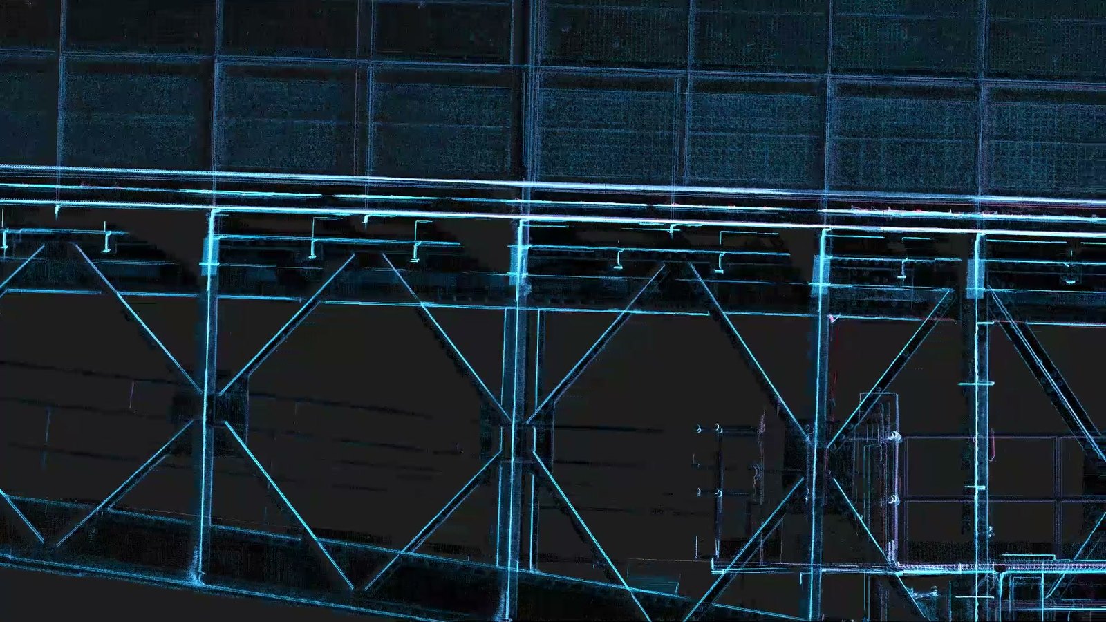
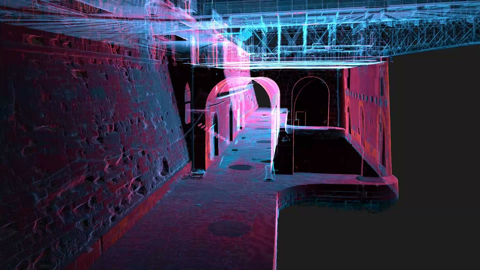
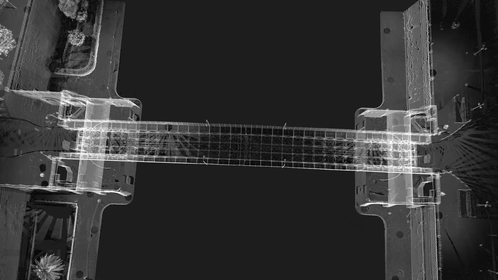
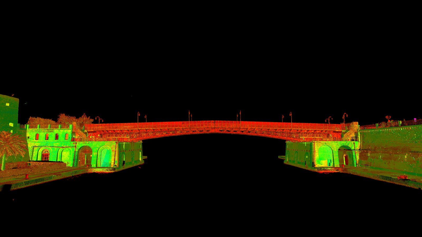
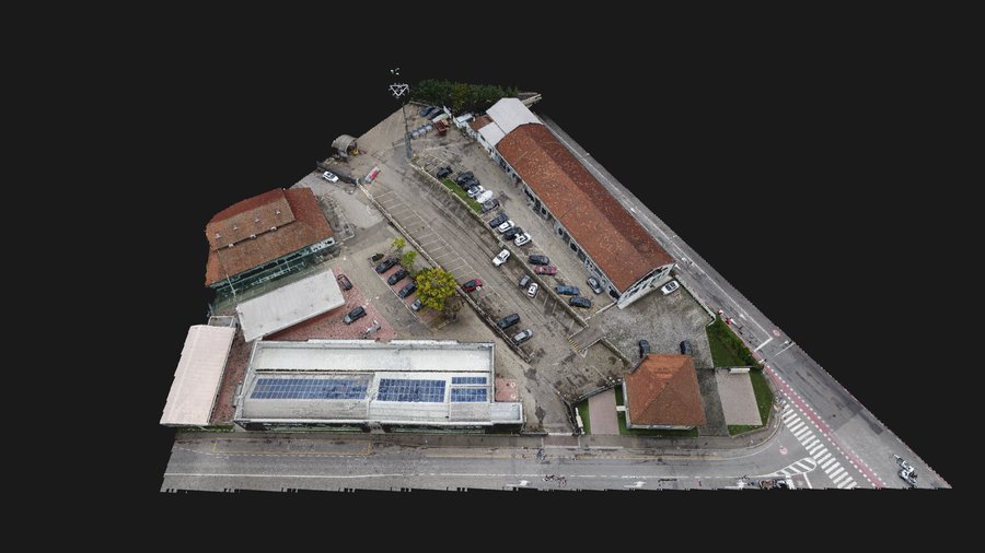
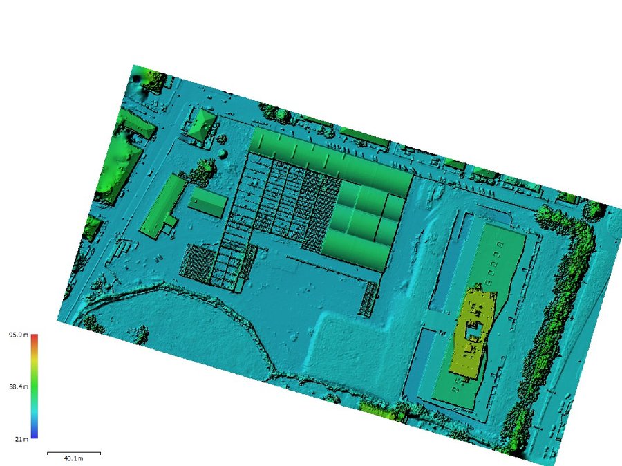
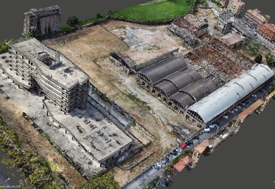
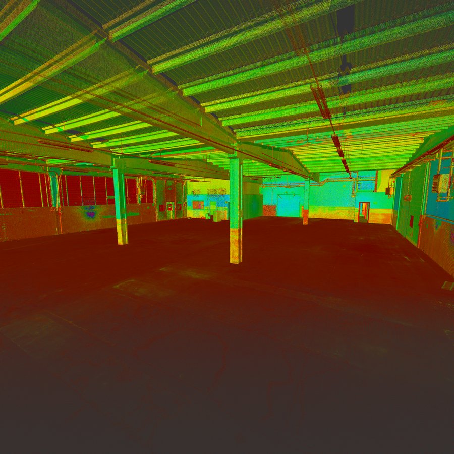
Bridges, lattice structures and industrial areas in the point clouds and orthophotos of our surveys.
Some projects
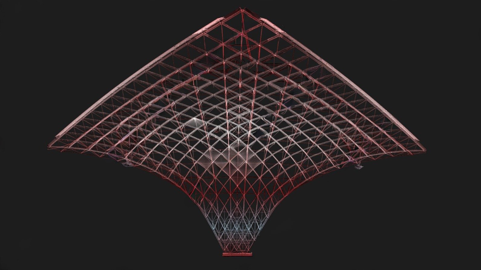 Vela Unipol, Bologna1,184 drone images taken 6 m from the structure and 29 laser scans: node and mesh catalogues of the 255 meshes for the design of the new covers.
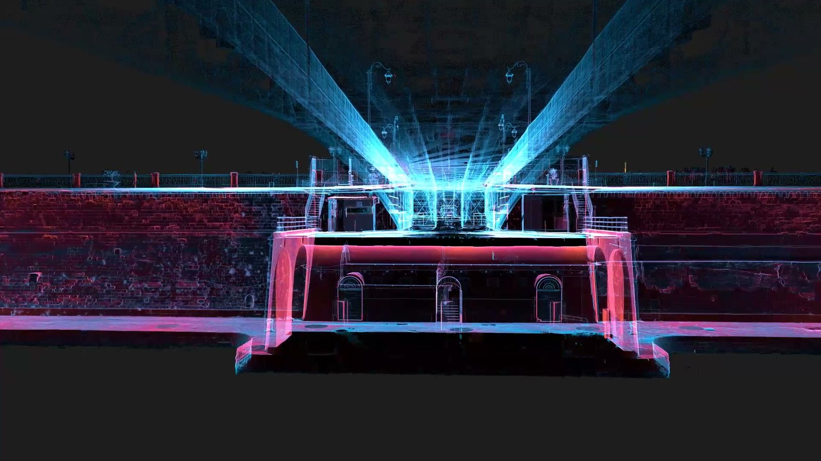 Swing bridge, TarantoAbout a hundred laser scans in two days. Delivered the point cloud, the drawings of the bridge and the 3D model of the quay.
 Road bridge over a canal, province of Ferrara19 laser stations, over 300 drone photos, over 120 photos and 46 spherical images from the boat. Drawings at 1:50 for the structural assessment.
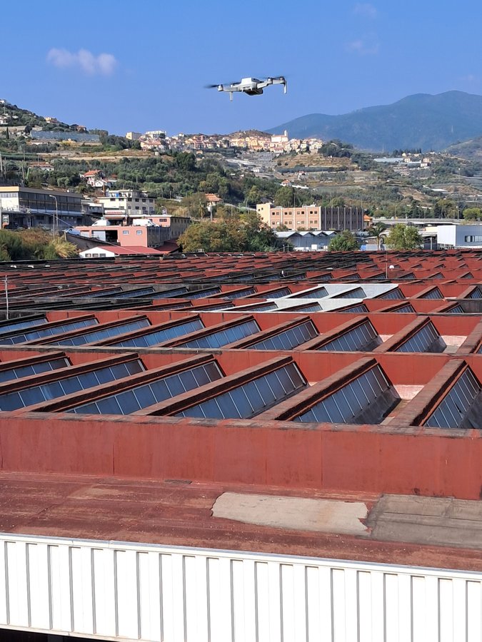
 Flower market, SanremoWarehouse and silos on about 5 hectares: laser scanning, total station network and 1,100 drone photos, to design the structures on the roofs.
All examples (in Italian): infrastructure and industrial spaces.
Frequently asked questions
Can you survey while work goes on?
Usually yes: laser scanners and drones need no contact with the structures. For larger campaigns we present a schedule agreed with whoever runs the site, so that the work does not interfere with operations.
Which reference system do you deliver in?
The national grid, or the local system of the project or the line if one already exists. We agree it before the survey.
Is a drone permit needed?
It depends on the area: near airports, ports and industrial sites it usually is. We check it before quoting and handle the application.
Do you also monitor structures over time?
Yes, with precise levelling and with laser surveys repeated in the same reference system, so campaigns can be compared.
What does the price depend on?
On the size and complexity of structures and plants, access (water, height, restricted areas), flight permits and what is delivered.
What do you need for a quote?
The location, what must be surveyed and what for, and existing drawings if any.
Have a bridge, a building or a plant to survey?
Tell us the location, the object and the purpose of the survey: we will reply with an offer.
Our other services: Heritage survey · Building survey · Land survey · Virtual tours · Drone inspections · ROV inspections