Drones
Drone inspections of roofs and façades
We inspect roofs, façades and bell towers with a drone, with no scaffolding and nobody climbing up. From the photos we write a report in which every observation is marked on the image, with its severity and the risks it may carry.

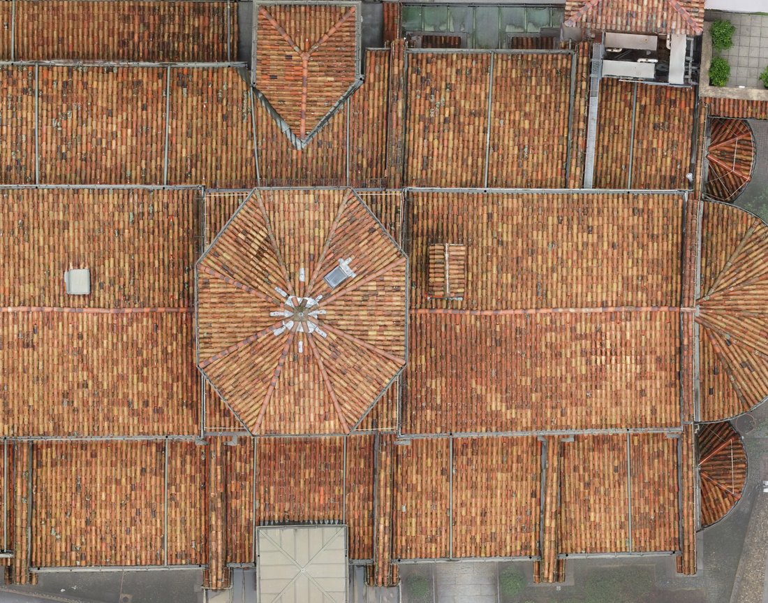
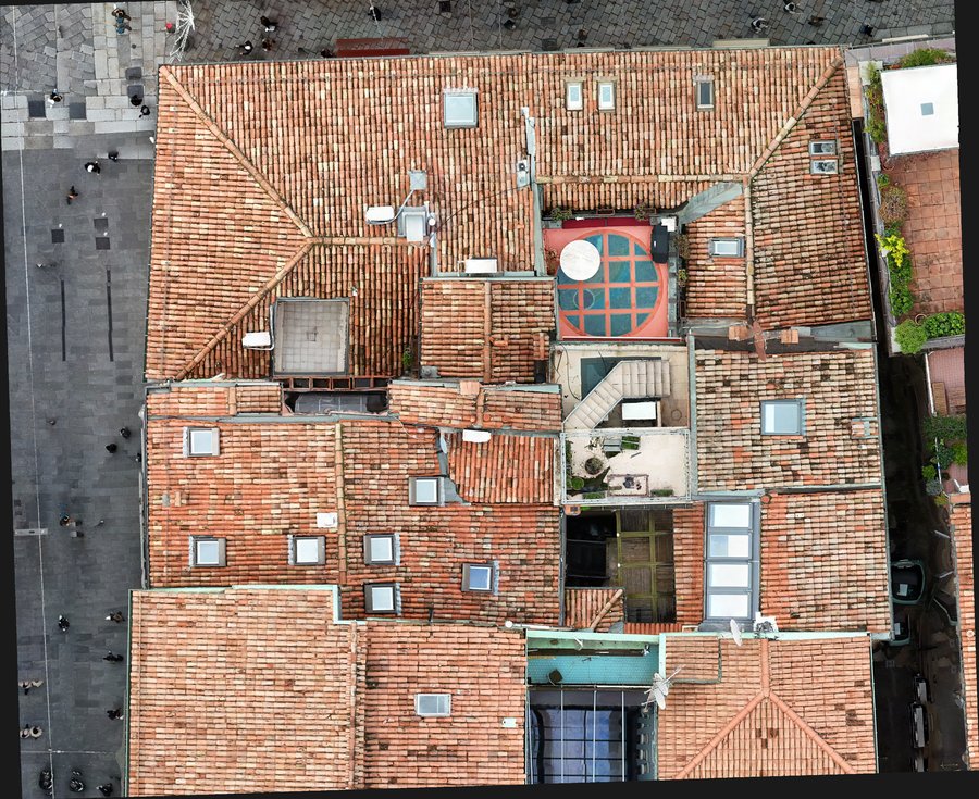
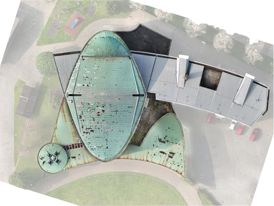
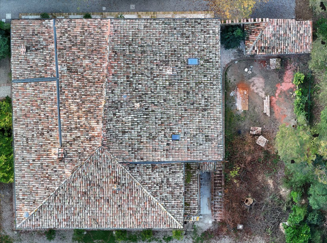
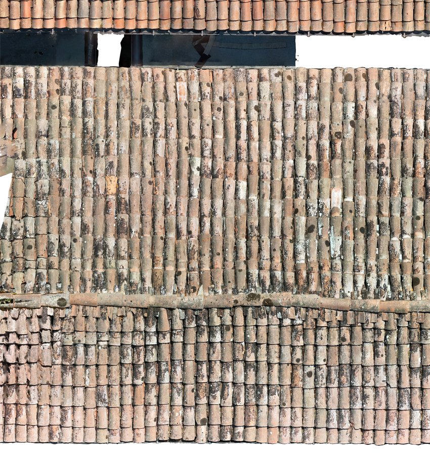
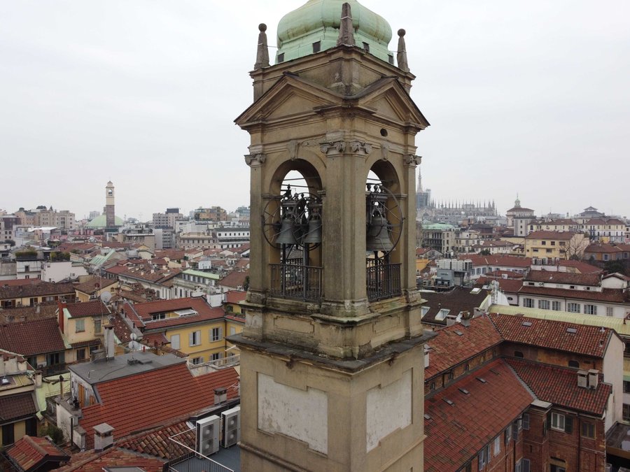
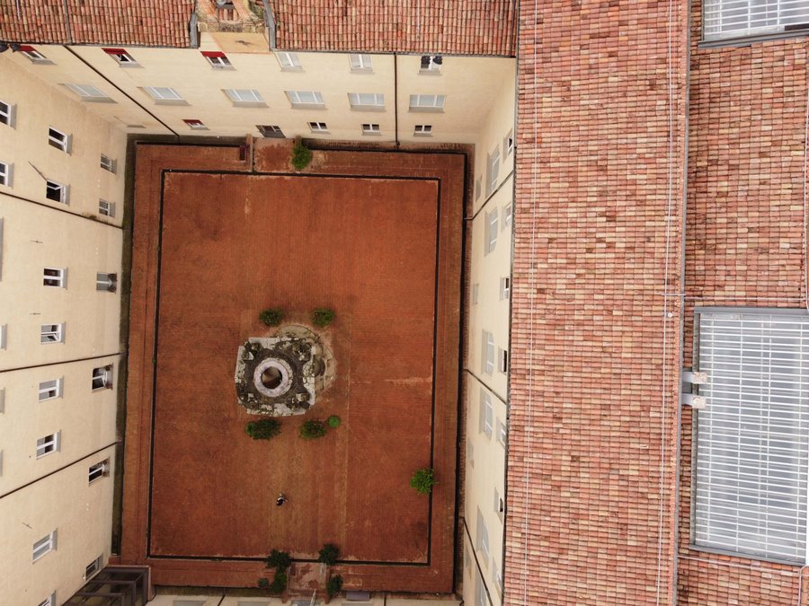
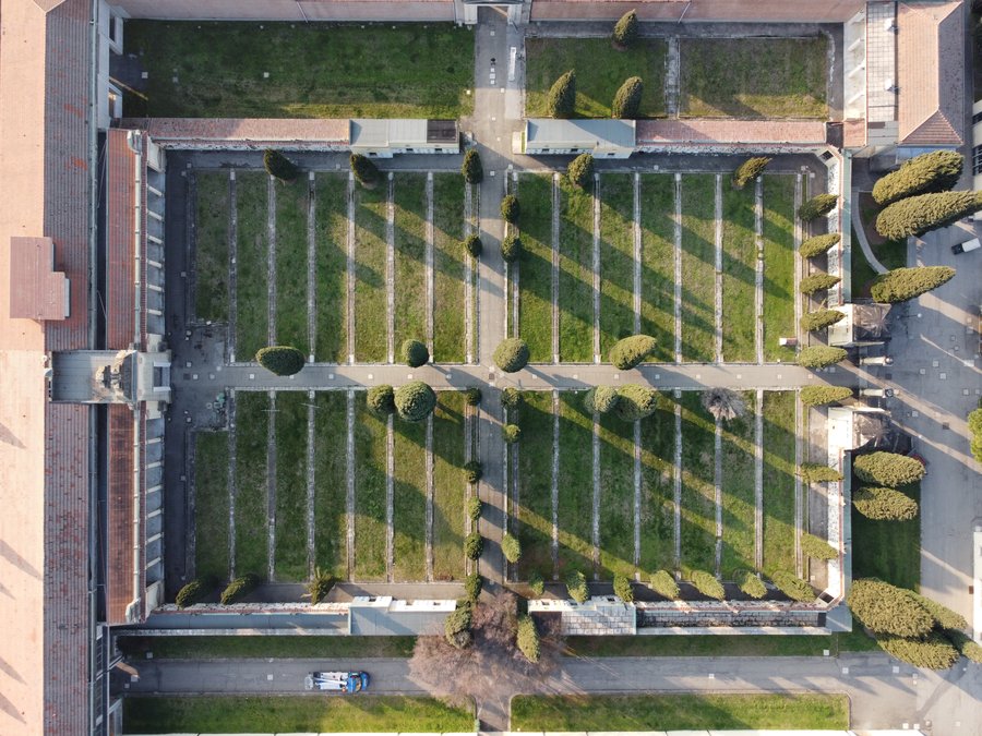
Some of the roofs we have photographed by drone. Our archive holds more than 87,000 photos taken in flight.
Why a drone
Getting a close look at a roof usually means scaffolding, an aerial platform or someone walking on it. A drone gets within a few metres of the roof covering in minutes and photographs tiles, ridges, chimneys and flashings in detail you cannot get from the ground.
Nobody goes on the roof and the covering is not loaded: it is the right way to inspect fragile or already damaged roofs and to assess a building before deciding whether, and where, to intervene.
What we look at
- Broken, slipped or displaced tiles.
- Ridges, hips and valleys with missing or loose mortar.
- Chimneys, vents, skylights and how they meet the roof.
- Gutters, downpipes and flashings.
- Fall-arrest lifelines: presence and visible condition of anchors, posts and cable.
- Moss, lichen and plants on the roof and in the gutters.
- Flat roofs and membranes: blisters, detachments, standing water.
- Façades and cornices: cracks, detachments, loose elements.
From our surveys
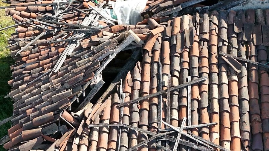
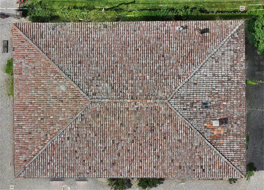
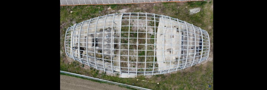
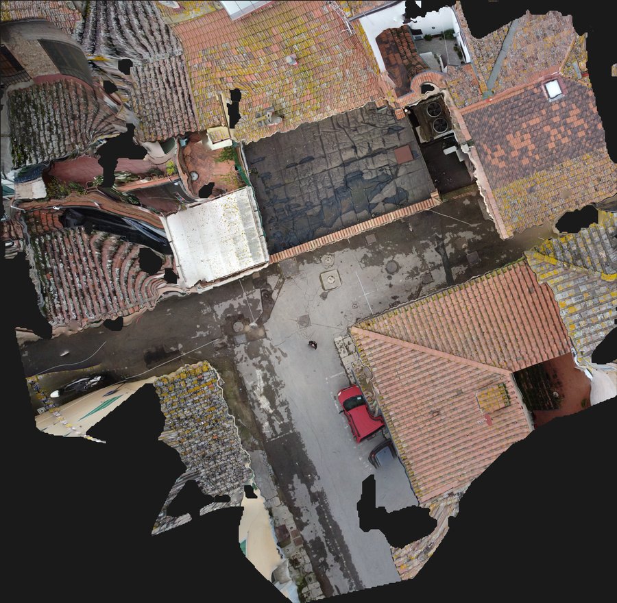
Roofs captured by drone: churches, old towns, farmhouses and public buildings.


The analysis report
Each observation has a code, a description and its position on the roof. Next to it are a close-up of the point and the full shot with the area boxed, so whoever goes up knows exactly where to look.
A01 Exposed membrane where two roof slopes meet check now
Where: valley between the rebuilt slope and the old roof
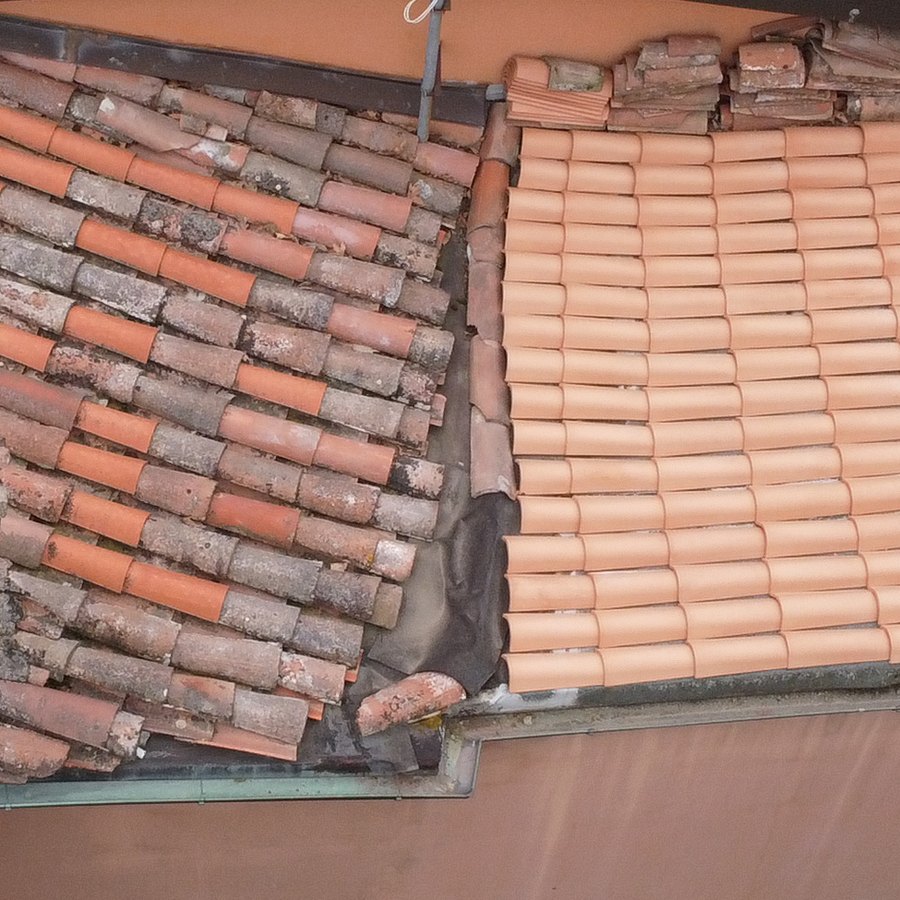
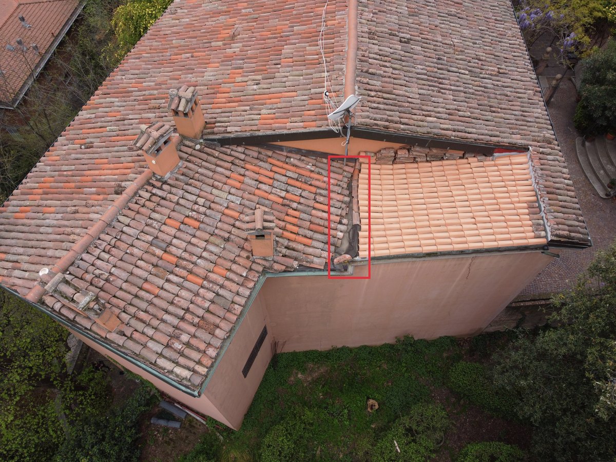
Observation: Where the rebuilt slope meets the old one, the waterproofing membrane is left uncovered for a few metres: neither the new tiles nor the old ones cover it. At the lower end a tile lies crosswise on the membrane, out of line.
To investigate: condition of the membrane exposed to the sun and how the joint holds towards the gutter.
Recommendation: an inspection soon, and completing the roof covering along the joint.
Severity has four levels:
- check now
- plan the work
- monitor
- note
The report opens with a summary of the counts and the recommended date for the next inspection; for each point we say what to investigate and suggest a course of action.
Who we work for
Homeowners who want to know the condition of their roof, property managers planning maintenance, engineers and architects preparing a project, contractors who want to see the roof before quoting, companies with industrial sheds, and public bodies with historic buildings. For an apartment building the summary says on one page what needs doing and how urgently.
When you need measurements
The same flight can become a photogrammetric survey: orthophotos of the roof slopes, a 3D model, areas and pitches for the bill of quantities. For façades and interiors we combine it with laser scanning.
Permits and safety
Our pilots hold ENAC qualifications (the Italian Civil Aviation Authority) for the open and specific categories, with third-party liability insurance for drone operations. Before every flight we check the UAS geographical zones: near airports, in towns and on industrial sites a permit may be required, and we take care of it.
We work mostly in Bologna, Emilia-Romagna and Milan, and we travel where needed.
Frequently asked questions
Does anyone need to go on the roof?
No. The drone works from above and never touches the roof: on the ground we only need a clear spot to take off.
Can a drone see leaks?
It sees the roof from outside: displaced tiles, missing mortar, open joints, which are the points where water can get in. A leak is confirmed from inside, and the report tells you where to look.
Can you fly in a city centre?
Often yes, depending on the area: some zones need an ENAC permit, which we request before the flight. That is why it helps to send us the address with your request.
What do you need for a quote?
The address, what you want checked (the roof, the façades, the whole building) and, if there is one, the reason: a leak, maintenance to plan, a sale or purchase.
Have a roof that needs checking?
Send us the address and what you want checked, and we will reply with a quote.
Our other services: Heritage survey · Building survey · Infrastructure survey · Land survey · Virtual tours · ROV inspections