Territory, environment and landscape
Land and environmental surveys
Drone, GNSS and laser scanning surveys of streams, embankments, green areas and large pieces of land. We produce georeferenced orthophotos, classified point clouds, terrain models (DTM, DSM), contour maps, spot-height plans and cross-sections for land planning, design and monitoring.

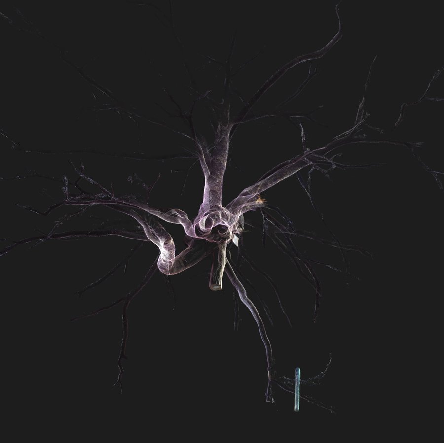
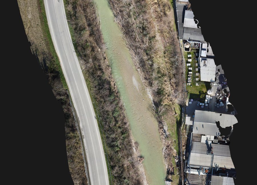
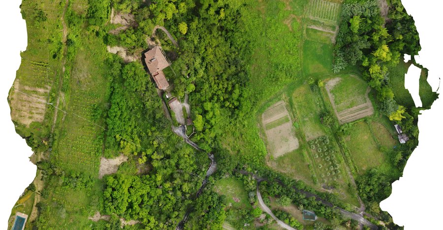
Three examples: the Savena stream at Pianoro (Bologna) at the bridge, forty hectares of land on the Gandovere (Brescia) and the centuries-old cedars of Parco Massari in Ferrara.
What we survey
- Streams, rivers and canals: channel cross-sections, banks and embankments, also in several campaigns to follow a worksite.
- Hydraulic structures: check dams, weirs, sills, bank protection, bridges and culverts, with their levels and their interference with the channel.
- Dams and reservoirs: dam faces, banks and the slopes around the reservoir.
- Ports and coastal areas: quays, piers, breakwaters and shoreline, with orthophotos and terrain model.
- Large areas, even tens of hectares: orthophotos and terrain models.
- Quarries and landslides: cut and fill volumes, comparison between surveys taken on different dates to quantify the material moved.
- Landfills and worksites: orthophotos, contour lines, spot-height plans and volume calculations.
- Tree surveys: georeferenced position of every tree, trunk diameter at 1.30 m above ground, height and crown spread, ready for GIS. For monumental trees, the complete geometry of trunk and crown with laser scanning.
Drone and GNSS
The flight is planned in strips with forward and side overlap set by the required resolution. Ground control points measured with NRTK GNSS reference the photogrammetric block. For instance, on the Gandovere and Laorna streams near Brescia, about 40 hectares, there were over 60 control points and 2,700 photos, with a point uncertainty in the order of a centimetre, checked on independent control points.
By default we work in the Italian national reference system RDN2008 (ETRF2000), in UTM projection in the relevant zone, with orthometric heights referred to mean sea level (Genova 1942), obtained from GNSS ellipsoidal heights through the official IGM geoid model: the survey overlays regional maps and repeated campaigns can be compared with each other. We can deliver in any other reference system, including a local one or the one the project already uses. Where needed, we set out ground markers of known coordinates and deliver their survey sheets, so whoever comes back for a worksite or a new survey ties in to the same points.
Vegetation and water
Where vegetation is dense, photogrammetry returns the canopy and not the ground: the DTM is rebuilt by classifying the point cloud, and less reliable zones are marked in the deliverables. That is why winter flights, with bare vegetation, work better. In woodland that stays dense all year we use drone LiDAR, which reaches the ground between the leaves.
Under water neither drone nor laser sees the bottom: the wet part of the channel is measured from the ground, point by point.
What we deliver
- The georeferenced orthophoto, in GeoTIFF, TIFF, JPG or PNG.
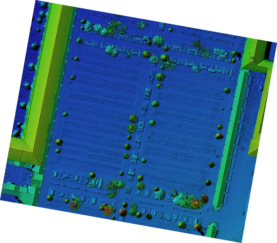
- Digital terrain and surface models (DTM, DSM) in GeoTIFF; on the Gandovere with a 10 cm grid.
- Spot-height plan and contour lines in DWG.
- Cross-sections and profiles in DWG.
- Volume calculations and the comparison with an earlier survey.
- The point cloud.
- PDF sheets and the report with the reference system and control points.
From our surveys
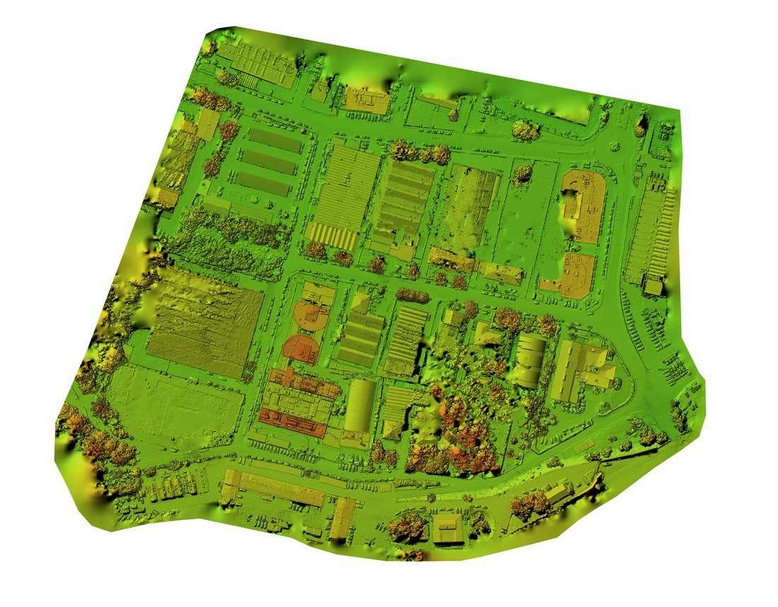
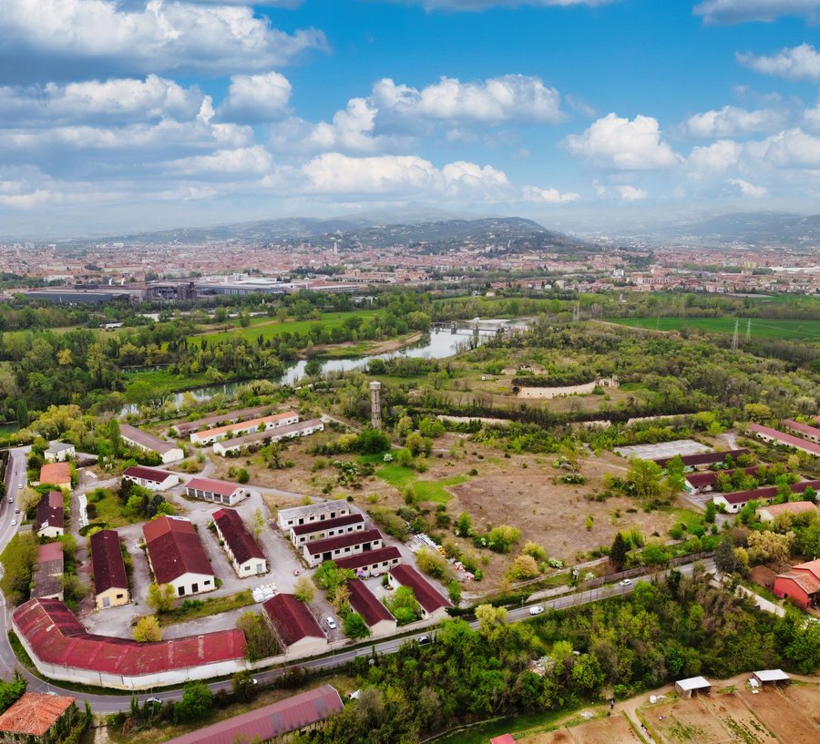
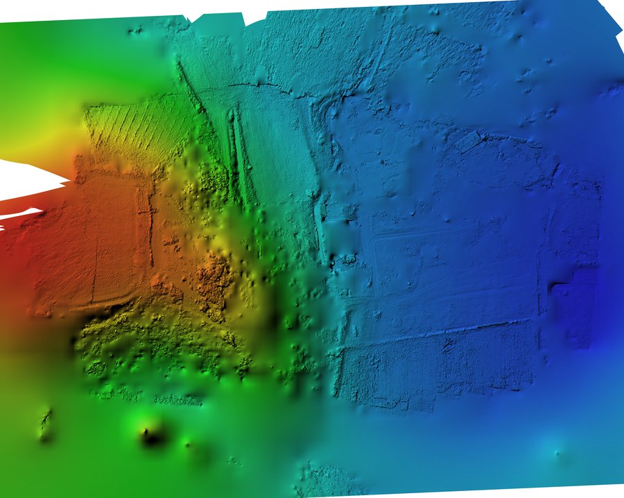
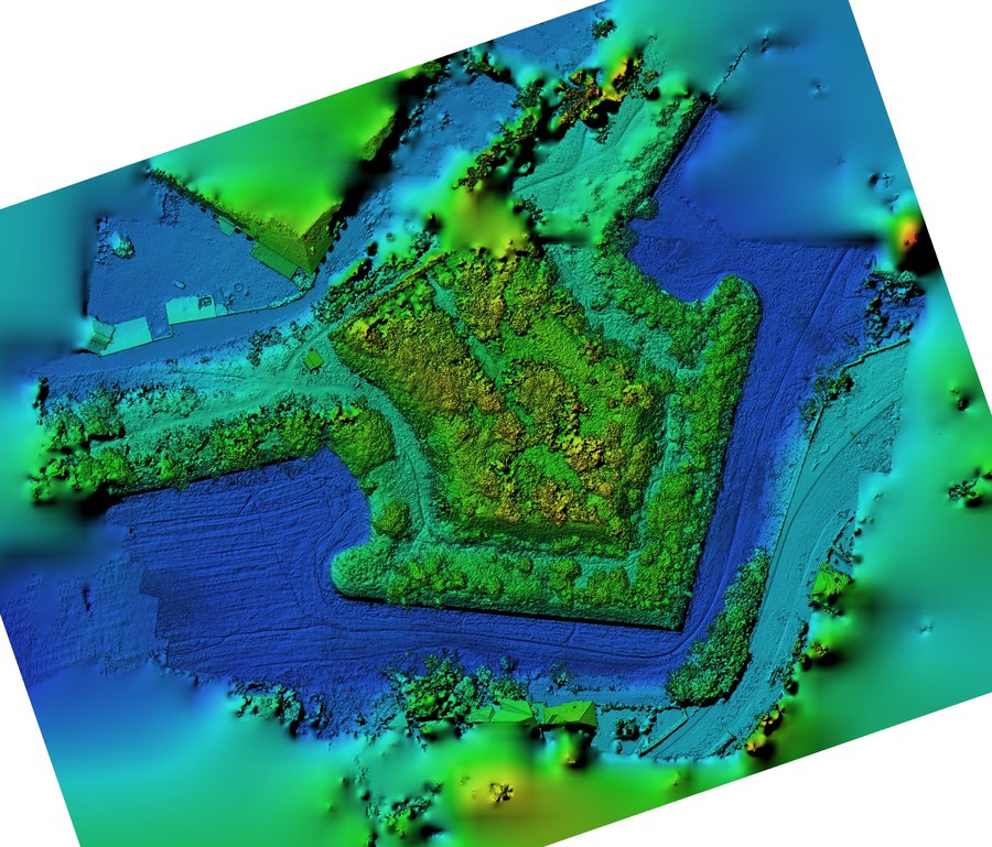
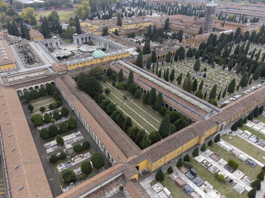
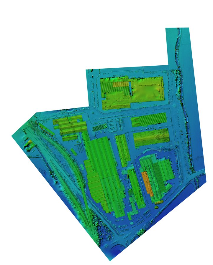
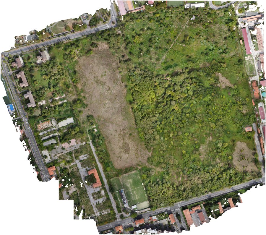
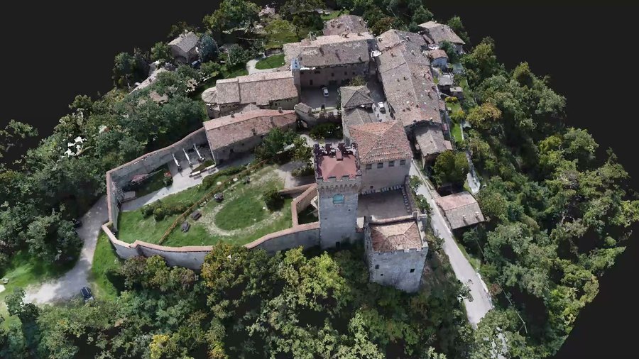
Terrain models, drone orthophotos and point clouds of green areas, streams, slopes and villages.
Some projects
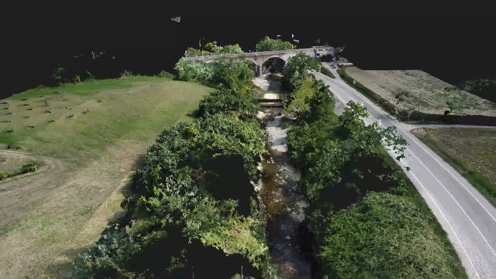 Savena stream, PianoroThree campaigns between 2024 and 2025: orthophotos at 5 cm per pixel, channel cross-sections and stakes along the reach under works.
 Gandovere and Laorna, BresciaAbout 40 hectares between two streams: 2,700 drone photos, over 60 GNSS control points, DTM with a 10 cm grid.
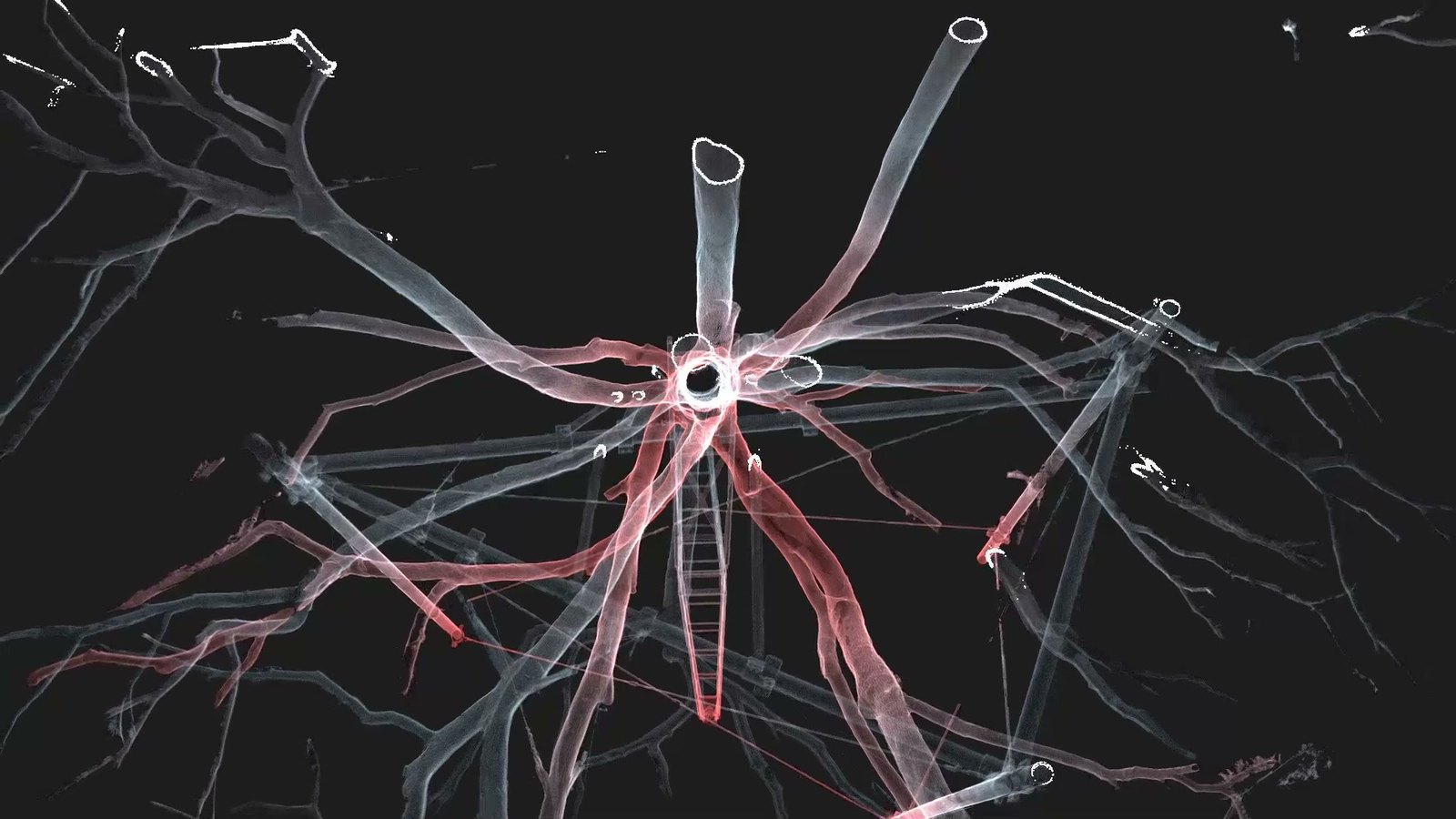 Cedars of Parco Massari, FerraraTwo centuries-old cedars of Lebanon, 32 laser stations, point cloud split into trunk and crown, in a reference that can be found again.
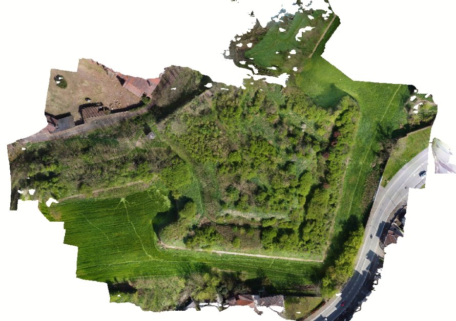
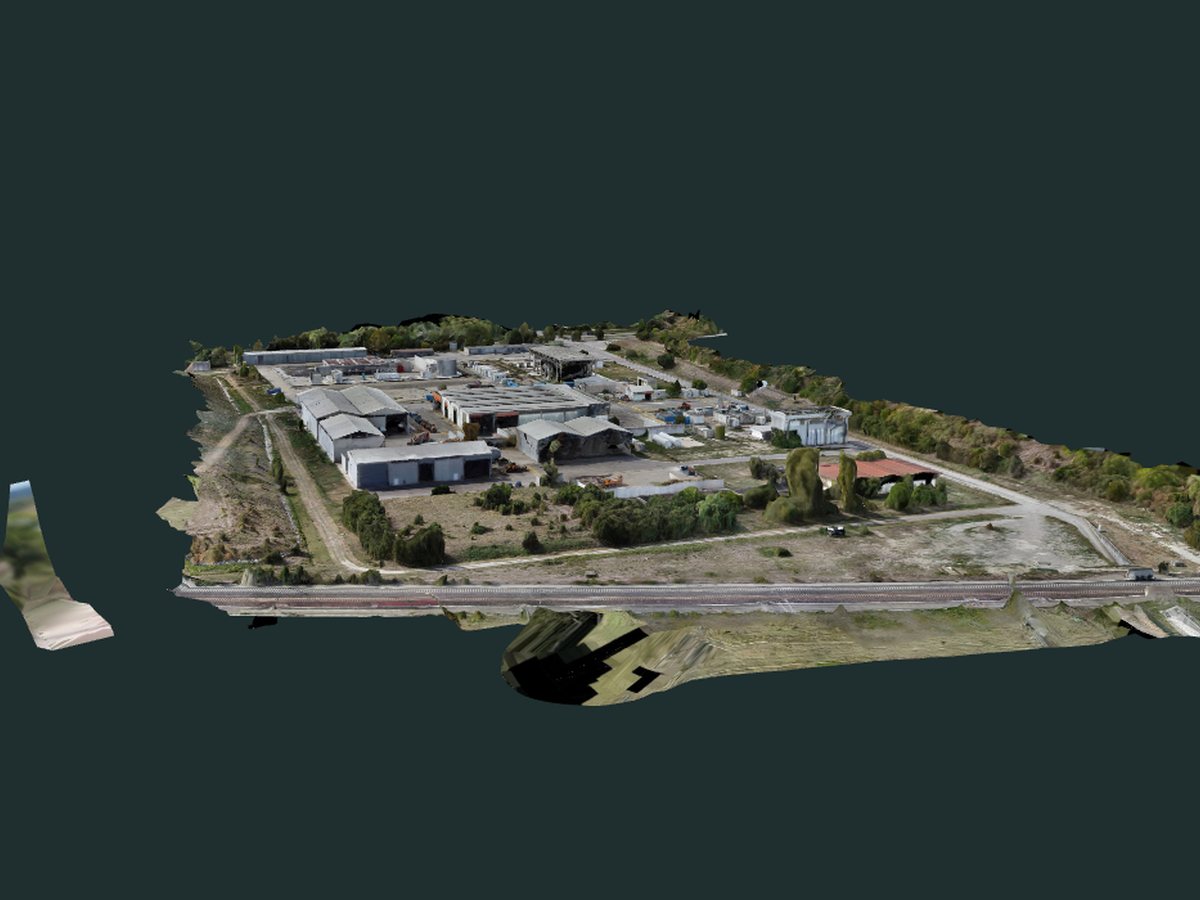 Landfill area, Modena11 hectares, over 2,500 drone photos: orthophoto, contour lines, spot-height plan and the 3D model viewable online.
All examples (in Italian): environment and landscape.
Frequently asked questions
Can a drone see the ground under trees?
With photogrammetry, only where the ground is visible between the canopy, and much better in winter. In dense woodland we use drone LiDAR, which reaches the ground.
How detailed is a drone orthophoto?
It depends on flight height and camera. On the Savena the orthophoto is 5 cm per pixel; for details we fly lower.
Which reference system do you deliver in?
By default RDN2008 (ETRF2000) in UTM projection with orthometric heights above mean sea level (Genova 1942), but we can deliver in any other system, including a local one. Where needed, we set out markers of known coordinates and deliver their survey sheets.
Is a flight permit needed?
It depends on the area. We check it before quoting and, if needed, handle the ENAC application.
What does the price depend on?
On the size of the area, how many control points are needed, vegetation and access, and what is delivered: only orthophotos, or terrain models, sections and sheets too.
What do you need for a quote?
The area (even just an outline on a map), what you want to obtain and any earlier surveys to start from.
Have an area to survey?
Tell us the area, even on a map, and the purpose of the survey: we will reply with an offer.
Our other services: Heritage survey · Building survey · Infrastructure survey · Virtual tours · Drone inspections · ROV inspections