Residential and commercial construction
Measured building survey
Laser scanning, topographic and drone surveys of houses, apartment buildings, offices, universities and public buildings, digitising the building into a true digital twin of its existing state. We produce plans, elevations and sections, the basis of every renovation or redevelopment project.

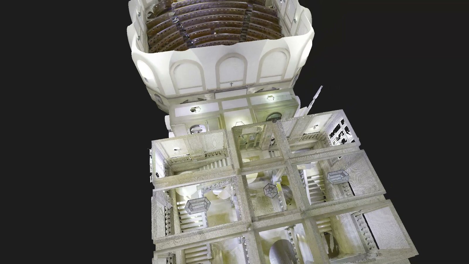
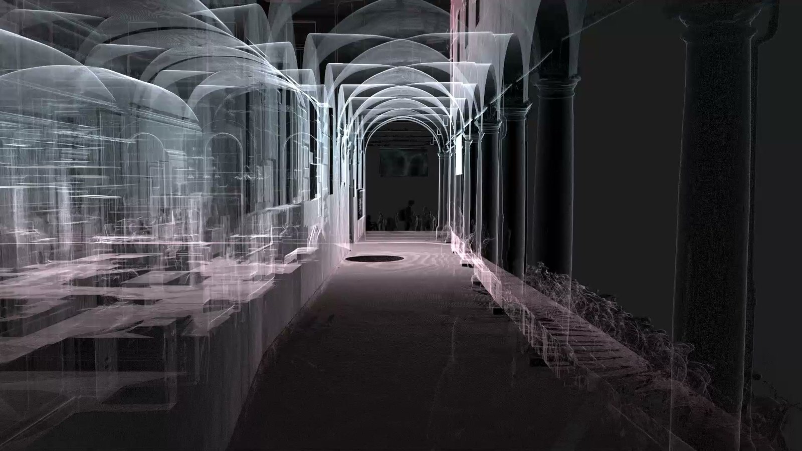
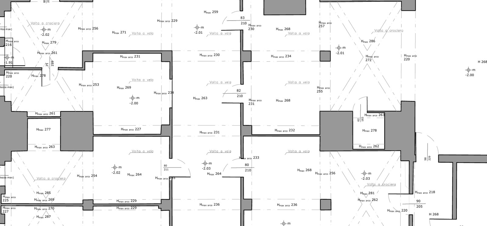
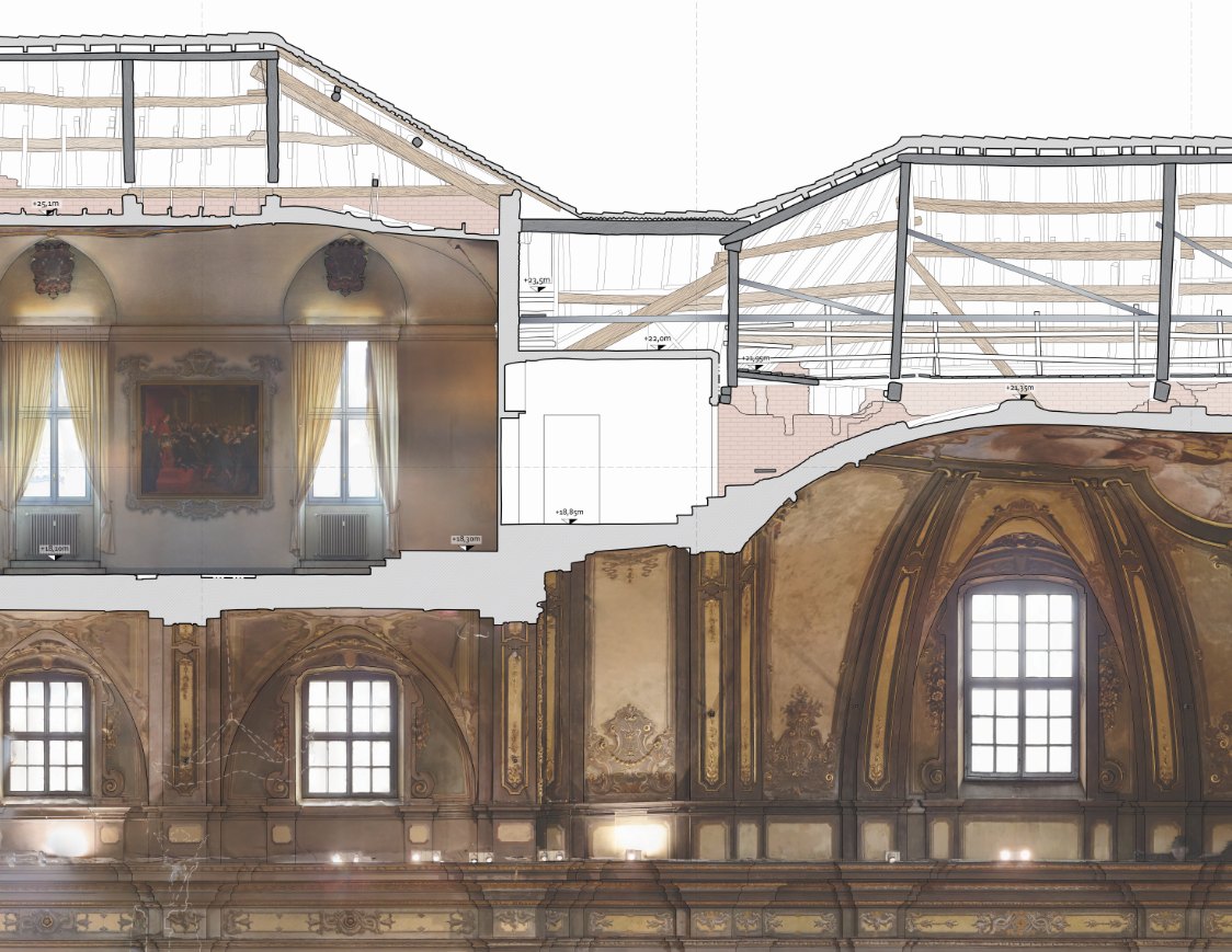
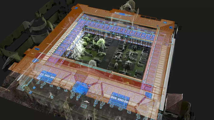
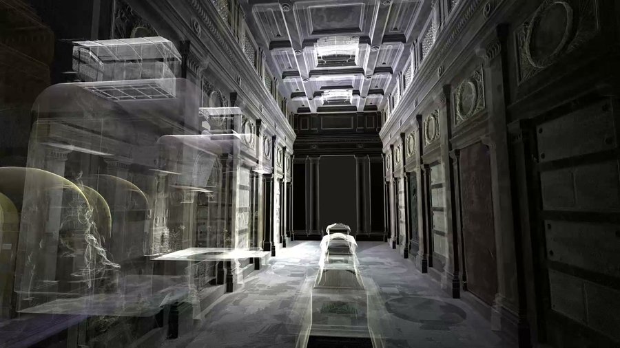
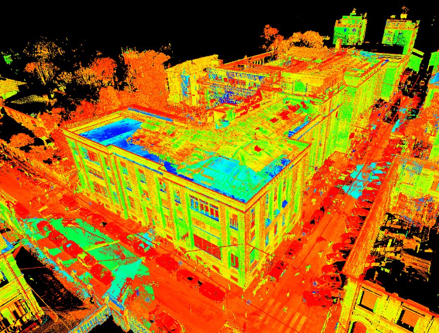
From the university complex in via Selmi, Bologna: the point cloud, the drawing traced on it and part of one of the sheets we delivered.
Why laser scanning
Archive drawings rarely match the building as built: walls out of square, floors out of level, dimensions that do not add up, openings altered over time. A laser scanner captures the whole building and returns its complete, continuous geometry. Where needed, precise levelling confirms the level differences read on the cloud: for instance, in a seven-storey building in central Bologna it measured about 9 cm between two corners of the same floor.
Having the point cloud also means the model can be queried again after the survey is finished: a missing dimension, an extra section or a check for a design change is obtained without going back on site.
How we work
We use two laser scanners, a Leica RTC360 and a FARO Focus M70, also in parallel on different parts of the building. A total station network holds the floors together and checks the point cloud; the drone covers roofs and tall façades.
In buildings in use we agree a schedule so that offices, classrooms and labs keep working. In occupied homes and apartment buildings we need access to every room, and we plan it in advance with whoever calls us.
How we check accuracy
Scans are registered in Leica Cyclone REGISTER 360, which reports the error of every constraint between stations. For instance, in the via Selmi university complex and the Dental Clinic in Bologna, with more than a thousand stations each, the mean constraint error was 3 mm.
The total station network, independent from the laser, is used to stiffen the point cloud and to check it, as at the Accademia di Belle Arti. Method, instruments and errors are written in a technical report that we supply with the survey.
What we deliver
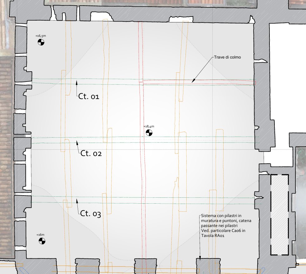
- Plans of every floor and of the roofs, with dimensions and room heights.
- Elevations and sections in DWG and PDF, at 1:100 or 1:50, agreed before the survey.
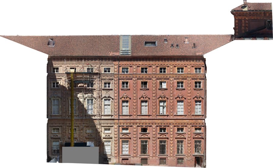
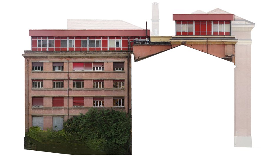
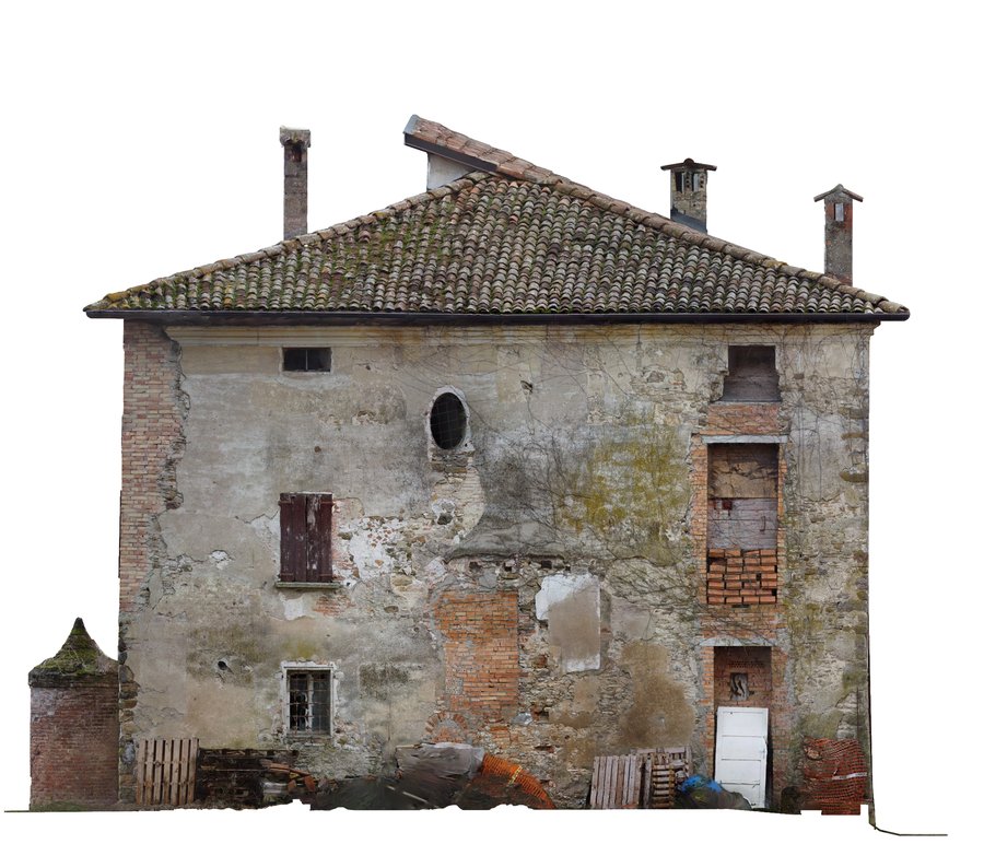
- Orthophotos of elevations and roofs, inserted in the drawings.
- The point cloud in E57, RCP/LGS or any other exchange format.
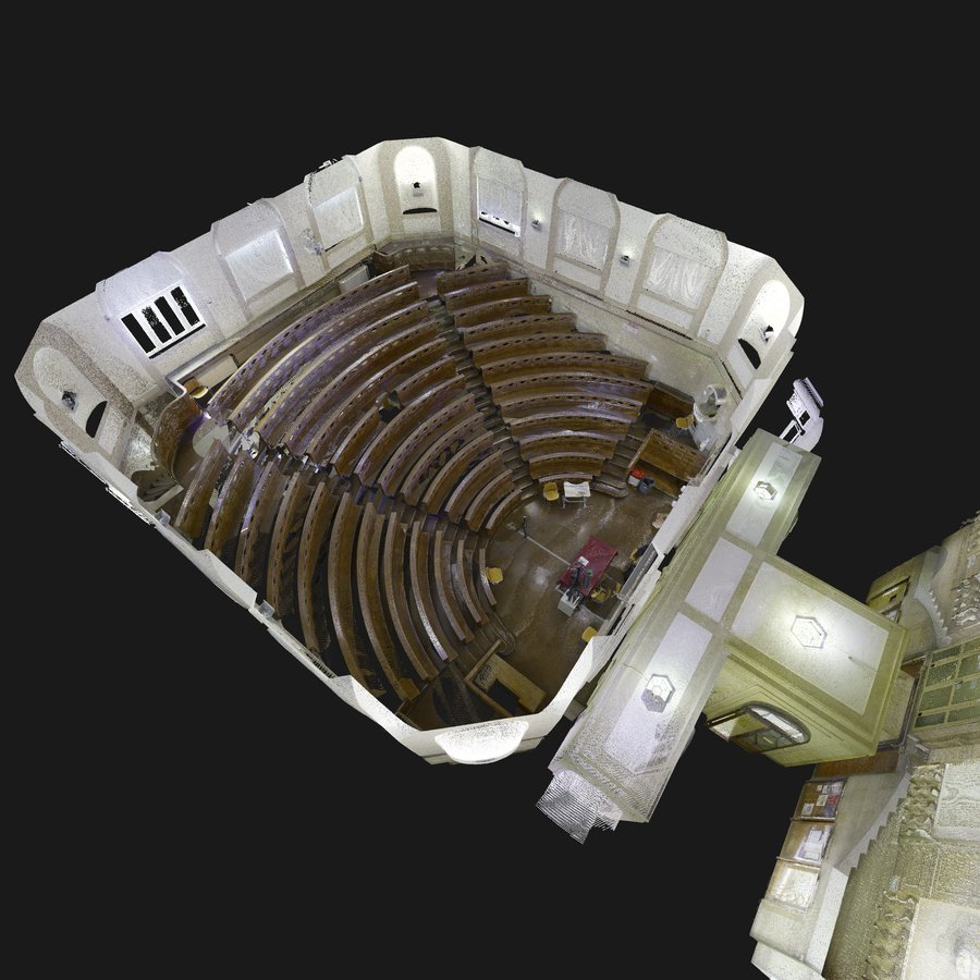
- The measurable virtual tour of the laser stations, to browse the survey and measure without technical software.
- Photos from the ground and from the drone.
- The technical report and the benchmark sheets, to find the reference system again.

Timing
Delivery times depend on the size and complexity of the building and are stated in our offer. On large complexes fieldwork alone can take weeks: for instance, in via Selmi, about 22,000 m² on six floors, it took five weeks.
From our surveys
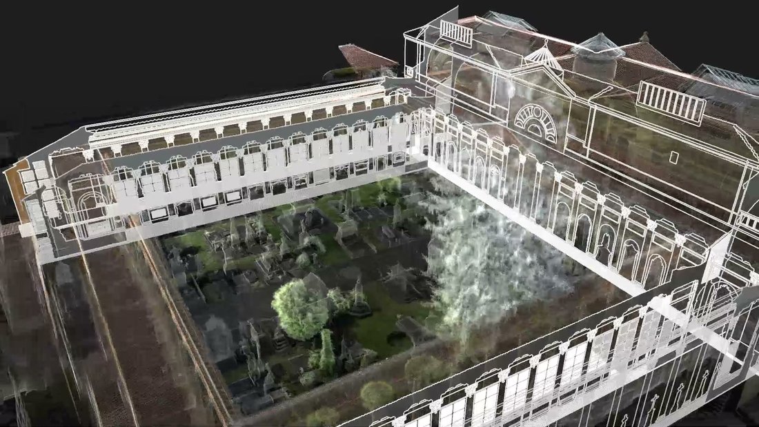
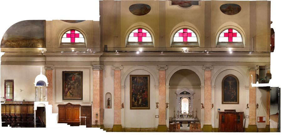
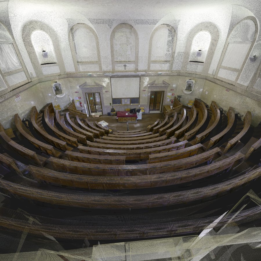
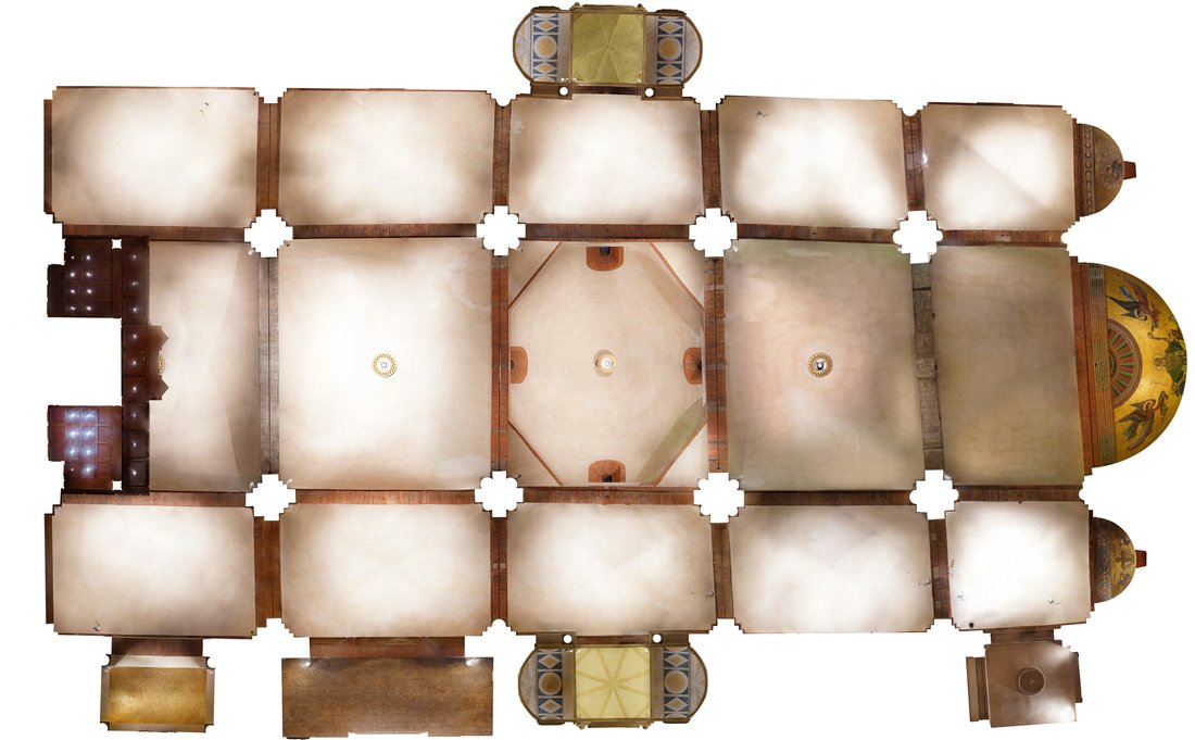
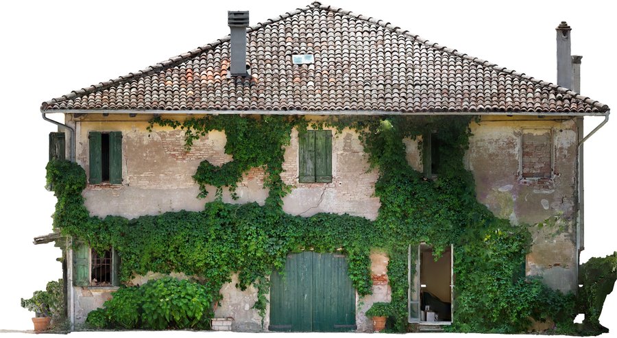
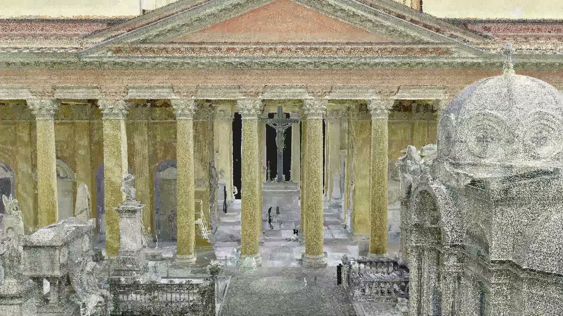
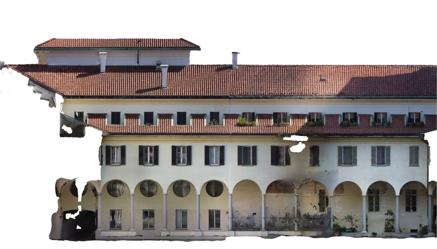
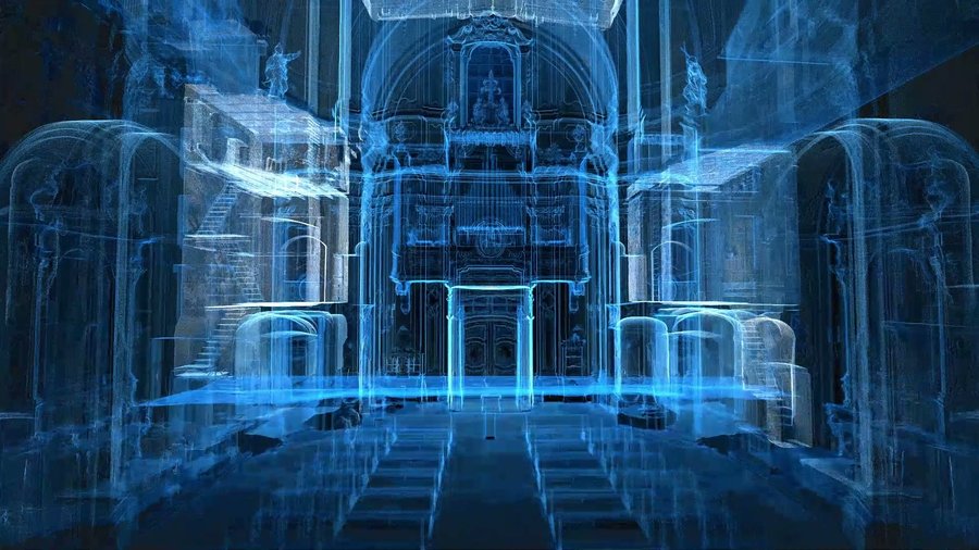
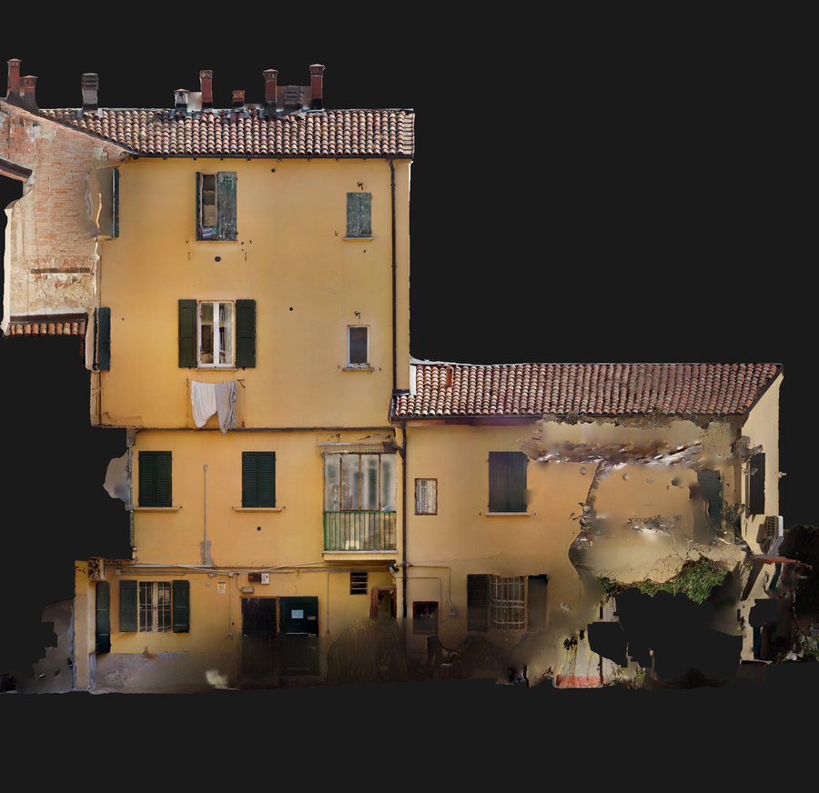
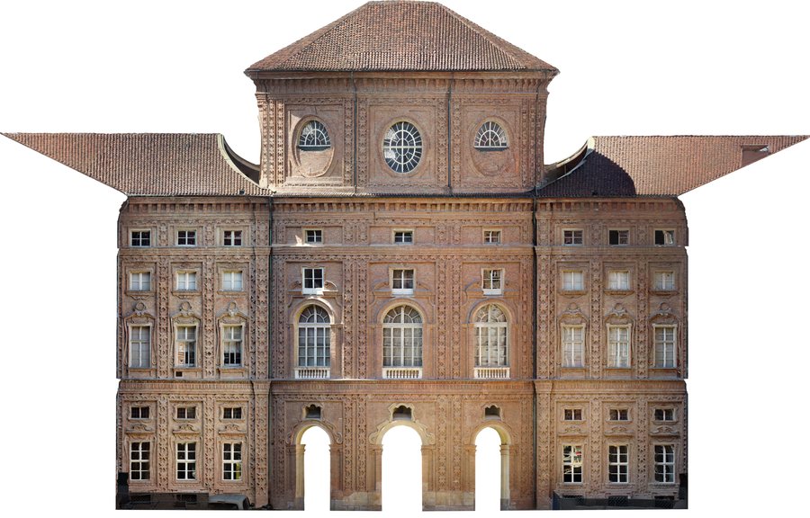
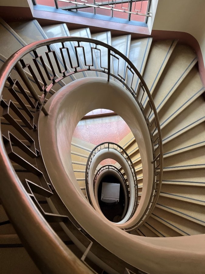
Orthophoto elevations, sections and drawings traced on the point cloud, from university buildings, historic palaces and farmhouses.
Some projects
 University complex in via Selmi, BolognaOver 2,100 scans over about 22,000 m² and six floors, plus the drone for roofs and façades. Mean registration error: 3 mm.
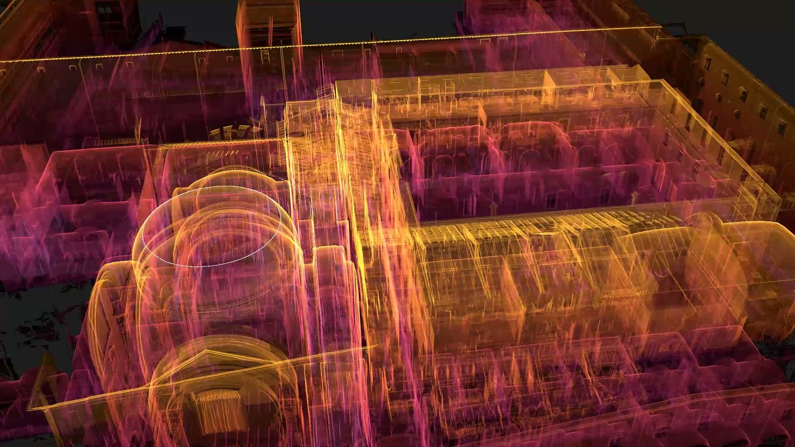 Accademia di Belle Arti, BolognaOver 850 scans and two drone campaigns. 18 elevations, plans and section at 1:100; point cloud checked against the total station network.
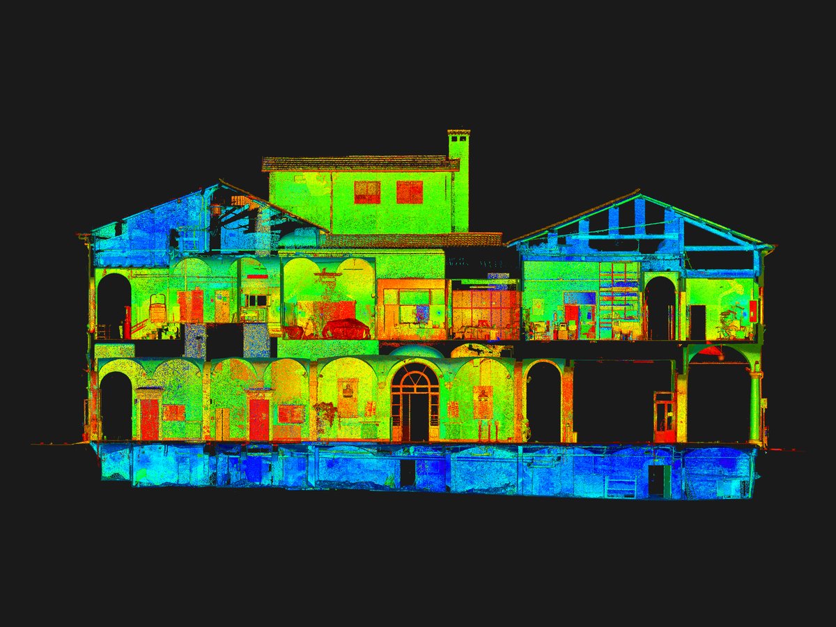 Dental Clinic, BolognaOver 1,000 scans on about 5,500 m² and four floors, from the basement to the attics. Mean registration error: 3 mm.
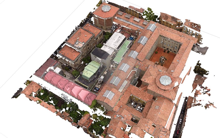
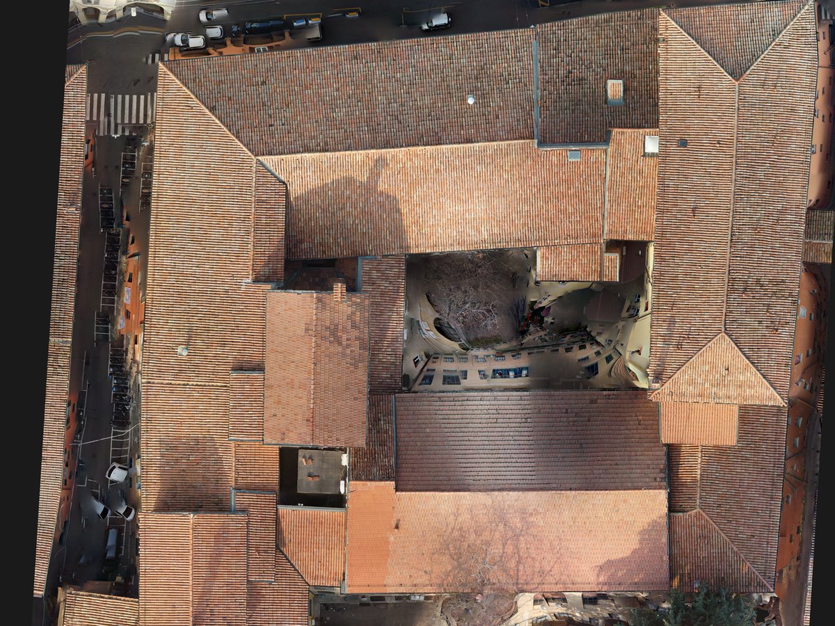 Roofs of the ClinicThe roofs captured by drone: an orthophoto showing the slopes, the skylights and the courtyard.
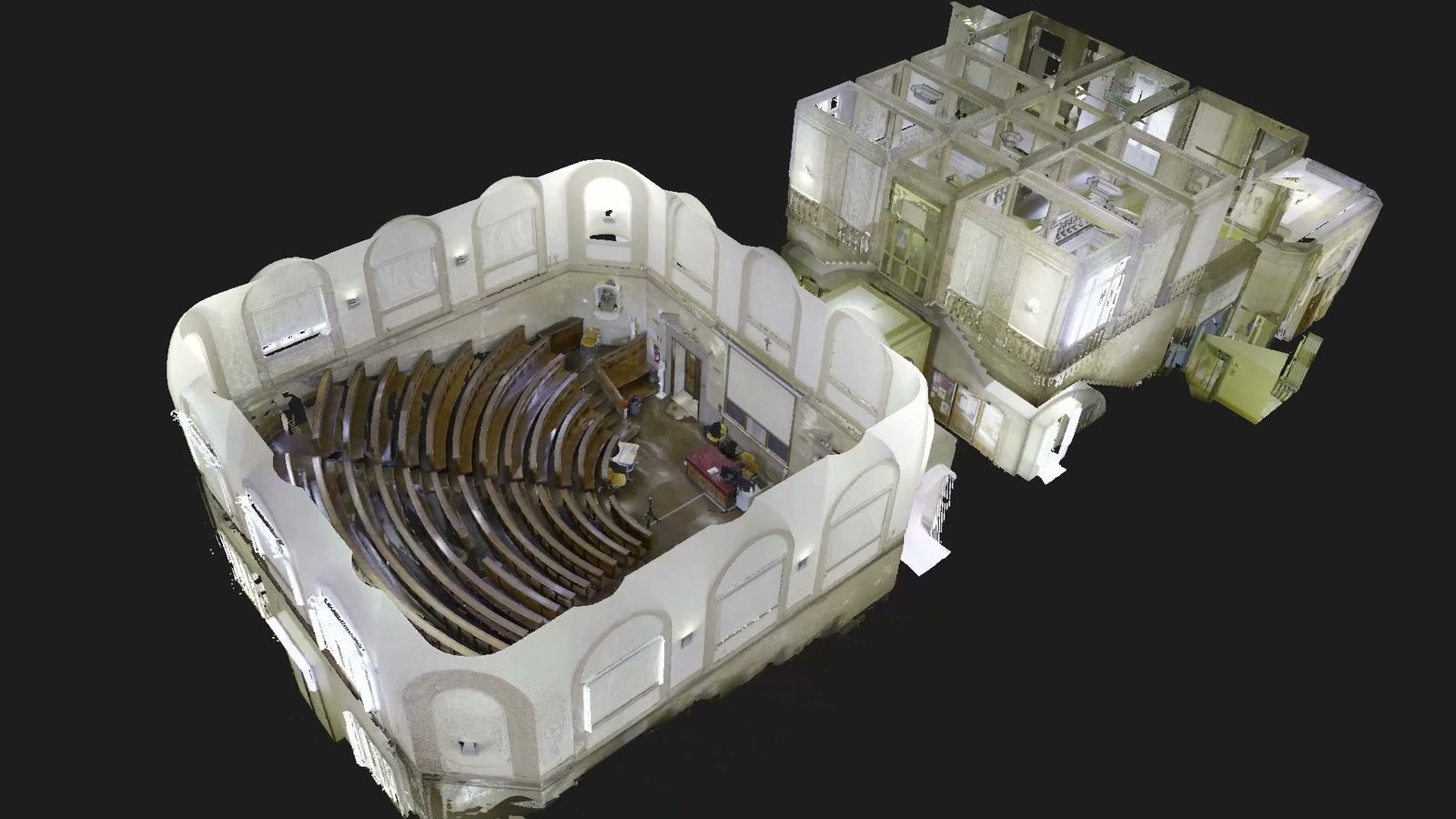 Aula Magna, Pavilion 11, Sant'Orsola, BolognaPlan and four sections as orthophotos, produced from the point cloud.
 Attics and roofsThe attics of the Accademia di Belle Arti, surveyed down to the tightest spaces between the trusses.
All examples (in Italian): building surveys.
Frequently asked questions
What is a laser scanning survey?
From every position where it is set up, a laser scanner measures the distance of millions of points around it. Joining the positions gives the point cloud: a 3D copy of the building, measurable everywhere, from which plans, elevations and sections are drawn.
Can it be done while the building is occupied?
Yes. We need access to every room, so the days are agreed with the people who live or work there. For spaces in use, such as offices and classrooms, we present an agreed schedule so that the work does not interrupt the activities.
What scale are the drawings?
Usually 1:100 for plans and elevations of large buildings, 1:50 when the design needs more detail. The scale is decided first, because it changes what is drawn.
Which formats do you deliver?
DWG and PDF for drawings, TIFF, JPEG or PNG for orthophotos, the point cloud in E57, RCP/LGS or any other exchange format, with a viewer. If you use specific software, tell us before the survey.
What does the price depend on?
On floor area and number of rooms, floors and access (attics, roofs, plant rooms), the scale of the drawings and what is delivered: only point cloud and plans, or elevations, sections and orthophotos too.
What do you need for a quote?
The address, what must be surveyed (floors, façades, roofs), what the survey is for and, if available, cadastral plans or earlier drawings.
Have a building to survey?
Tell us the address, what must be surveyed and what for: we will reply with an offer.
Our other services: Heritage survey · Infrastructure survey · Land survey · Virtual tours · Drone inspections · ROV inspections